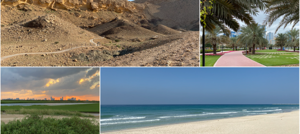
If you’re looking for walks away from the city, the number of places to walk and exercise outdoors is increasing all the time. There are many with great views too. This is not a complete list but there’s plenty choice to get you started. Other places and photos will most likely be added at later points.
Walks away from the City
Walks away from the city in Sharjah
Wasit Wetlands – Round the lake with hides along the way. Requires signing of a disclaimer in the visitor centre and a visit first thing. (No guarantees, depends on weather conditions and how busy it is.) 6-7km Surface – firm sand, view – trees, bushes, lake, birds, gazelles. (Update – Outdoors currently closed)
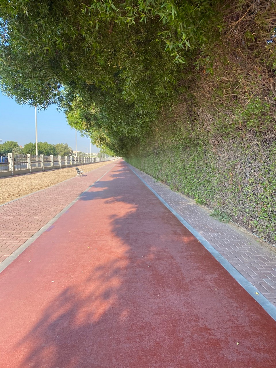
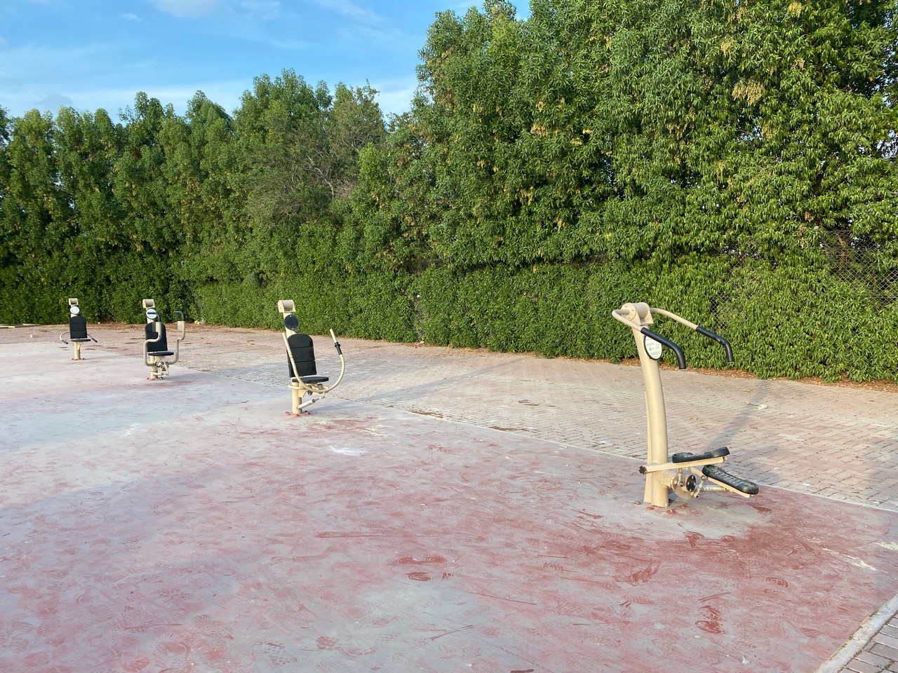
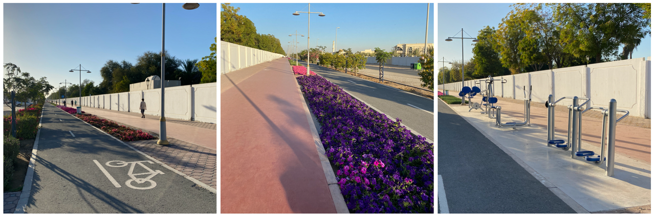
Wasit – jogging track along the side of Wasit Wetlands – 1600m with public gym (outdoor exercise equipment) halfway. Surface – rubber with narrow parallel paved track, view trees, residential area.
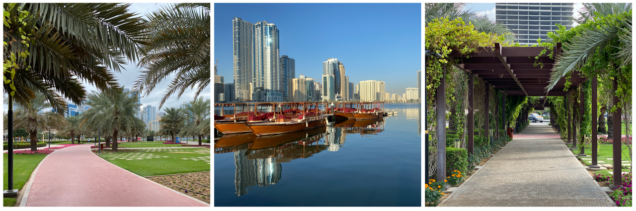
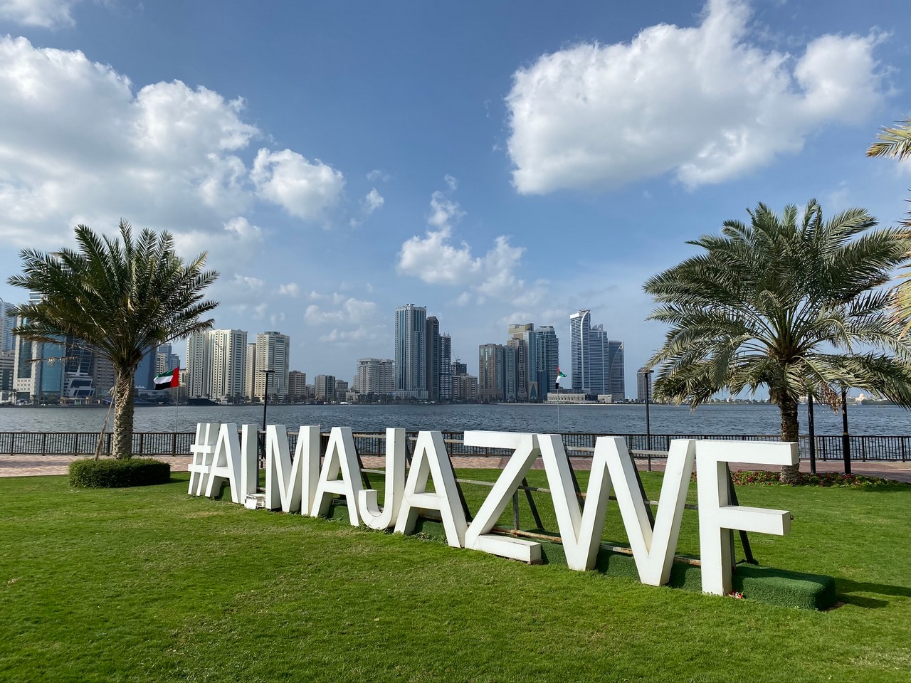
Al Majaz Waterfront jogging track 400m, surface rubber with parallel paved track, view – park
Buy Exploring the Emirate of Sharjah – Walking and cycling tours and itineraries in the city and Central and Eastern Regions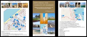
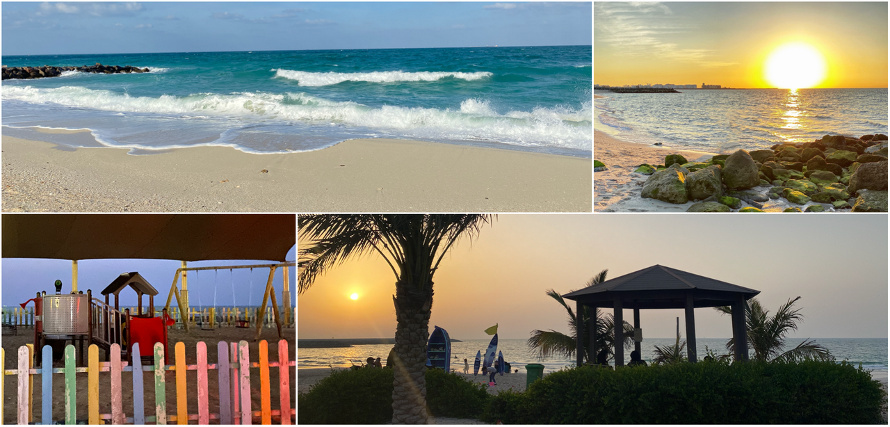
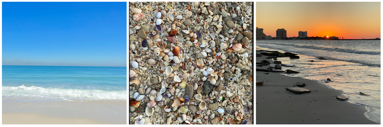
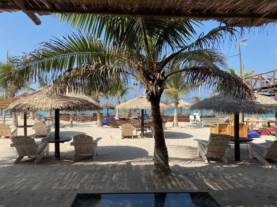
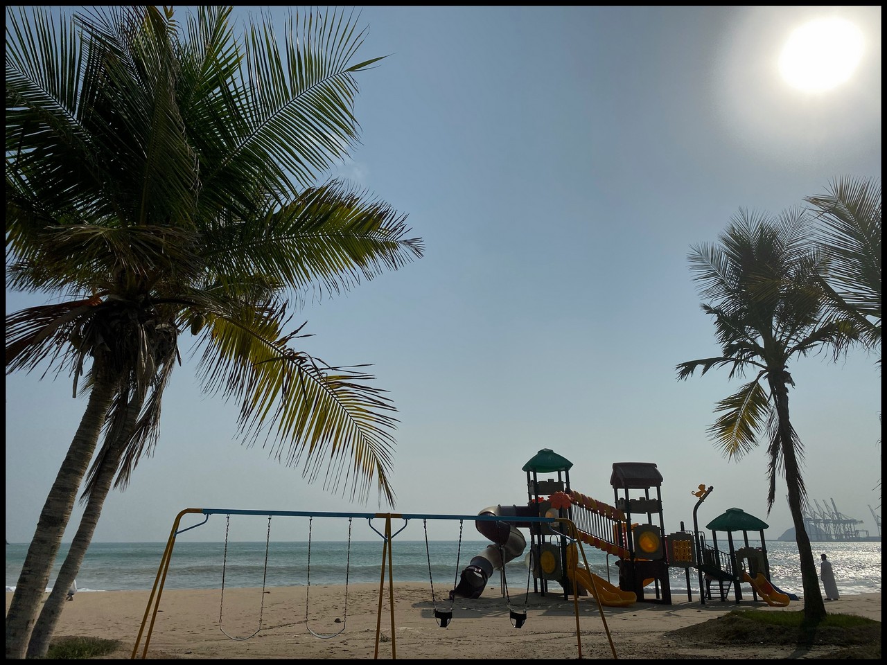
Al Hamriyah Beach, long, beach sand or firm sand higher up. Barbecues, a few shades, no other facilities. View – beach/sea
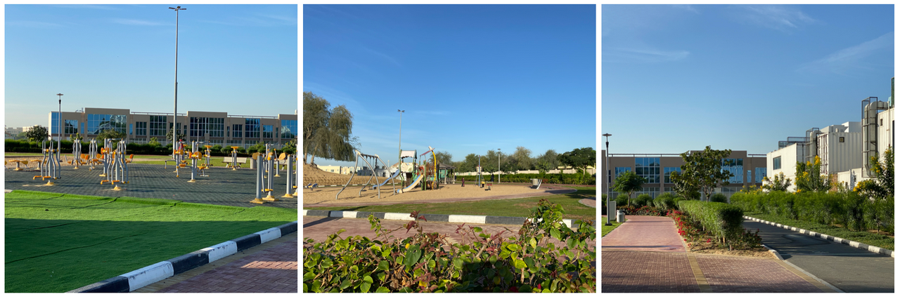
Al Qarayen Walking/cycling tracks, rubberised walking track and paved cycling track, four public gym areas, behind Sharjah National Park, 2.2km, view – lanscaped verges, residential area.
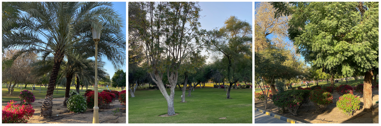
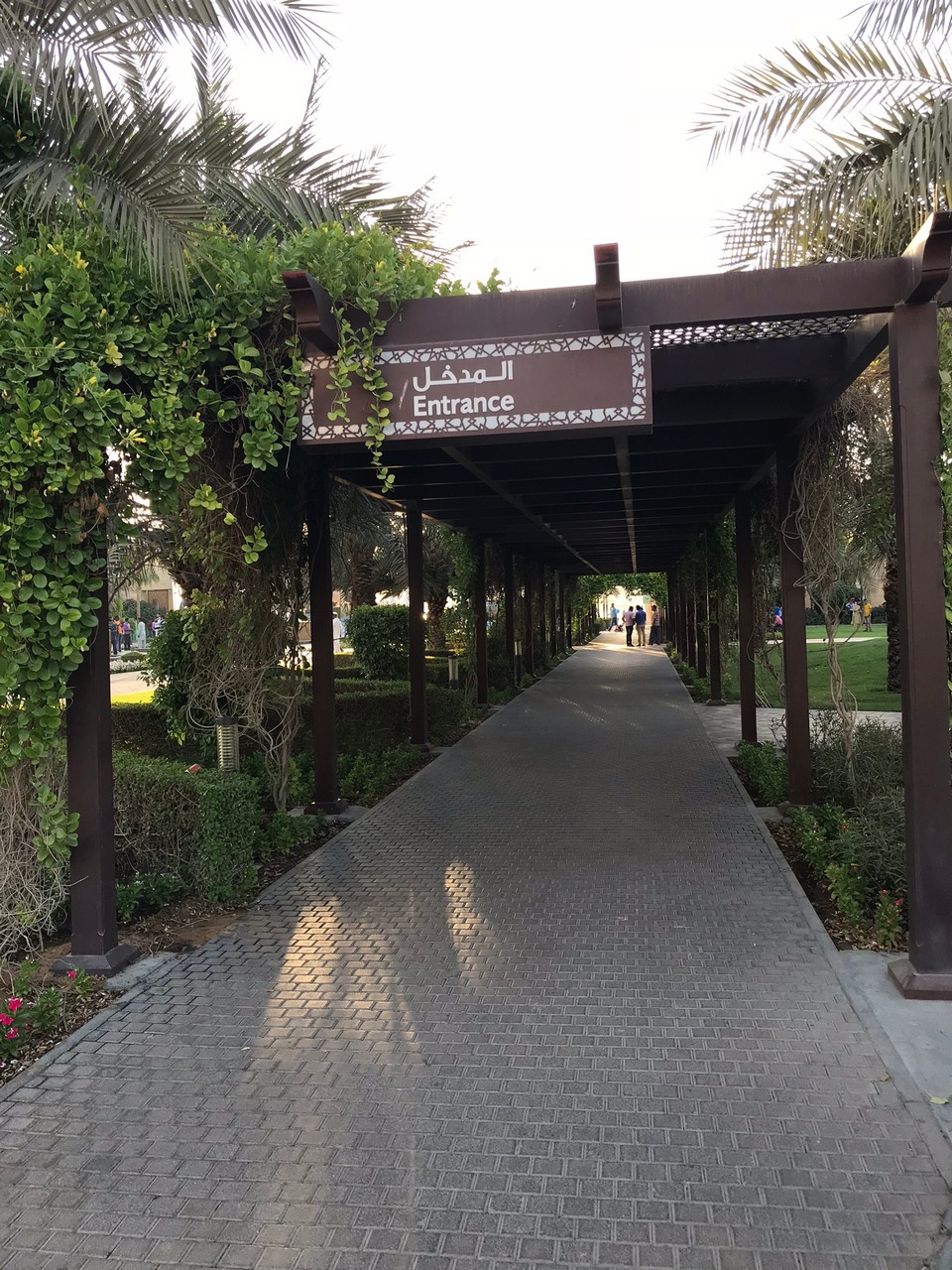
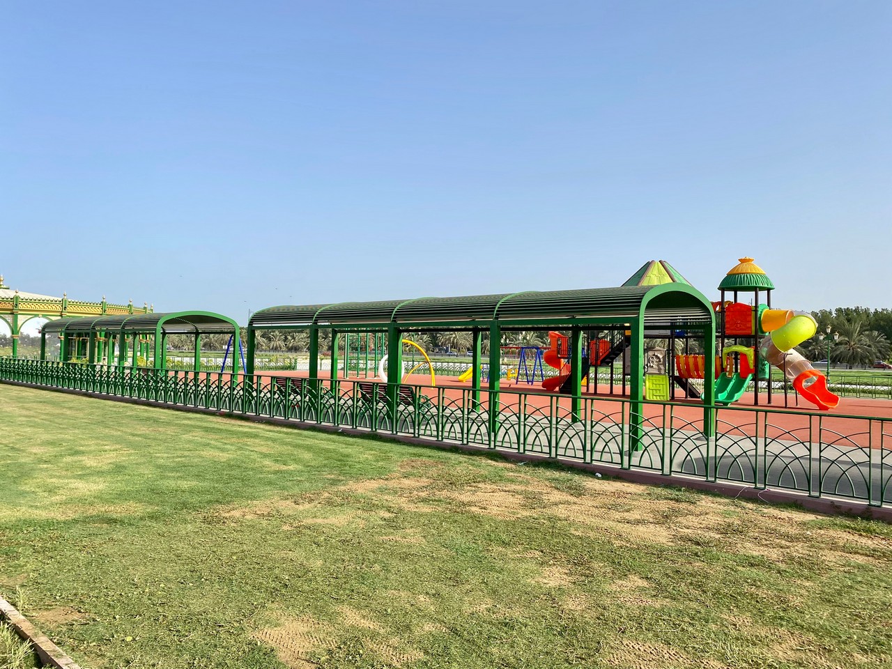
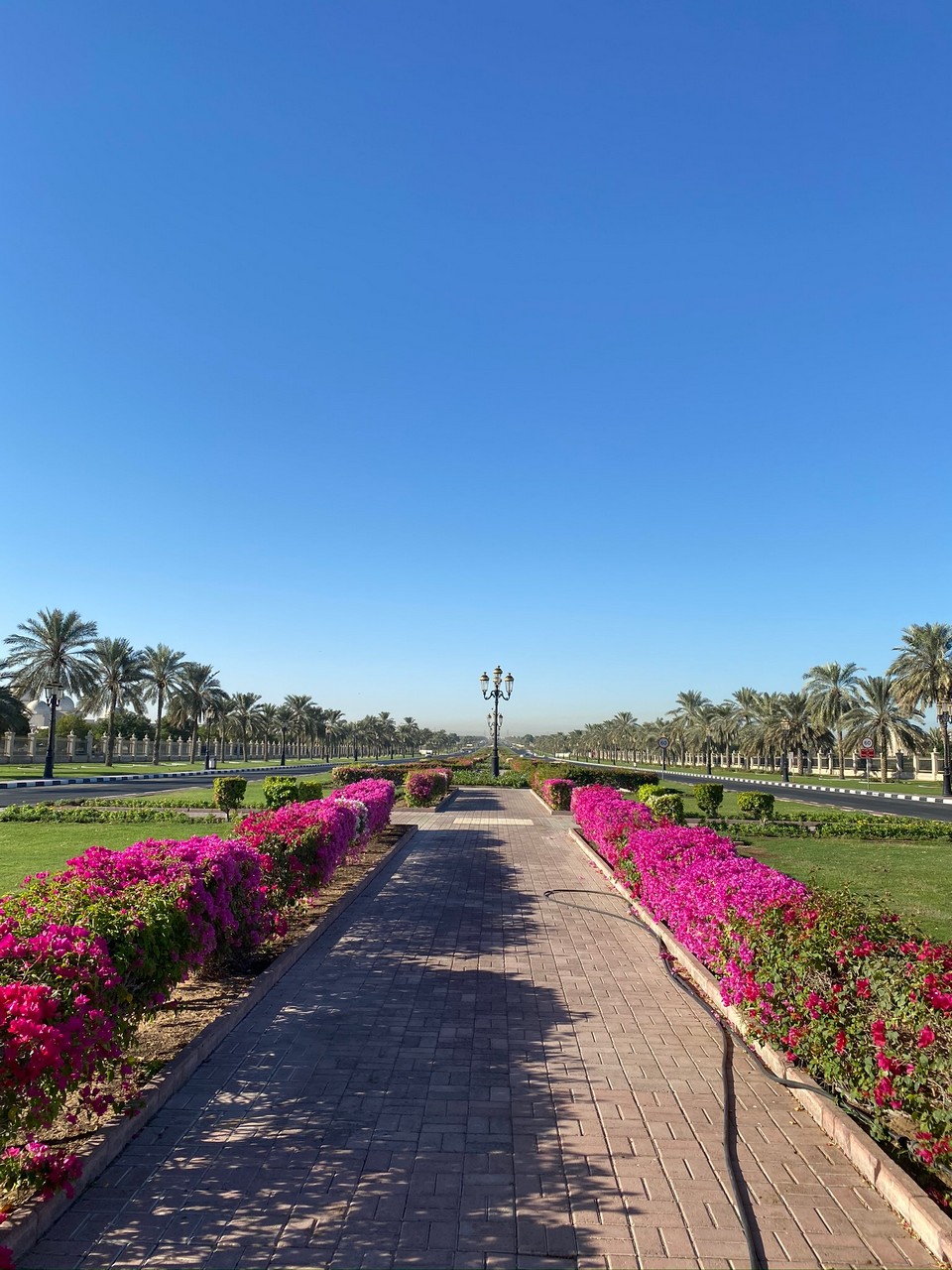
Sharjah National Park, paved walkways, view – landscaped gardens, entrance 2dhs, facilities – toilets, mosques, shades, play area, kiosks. No cycling allowed on paths.
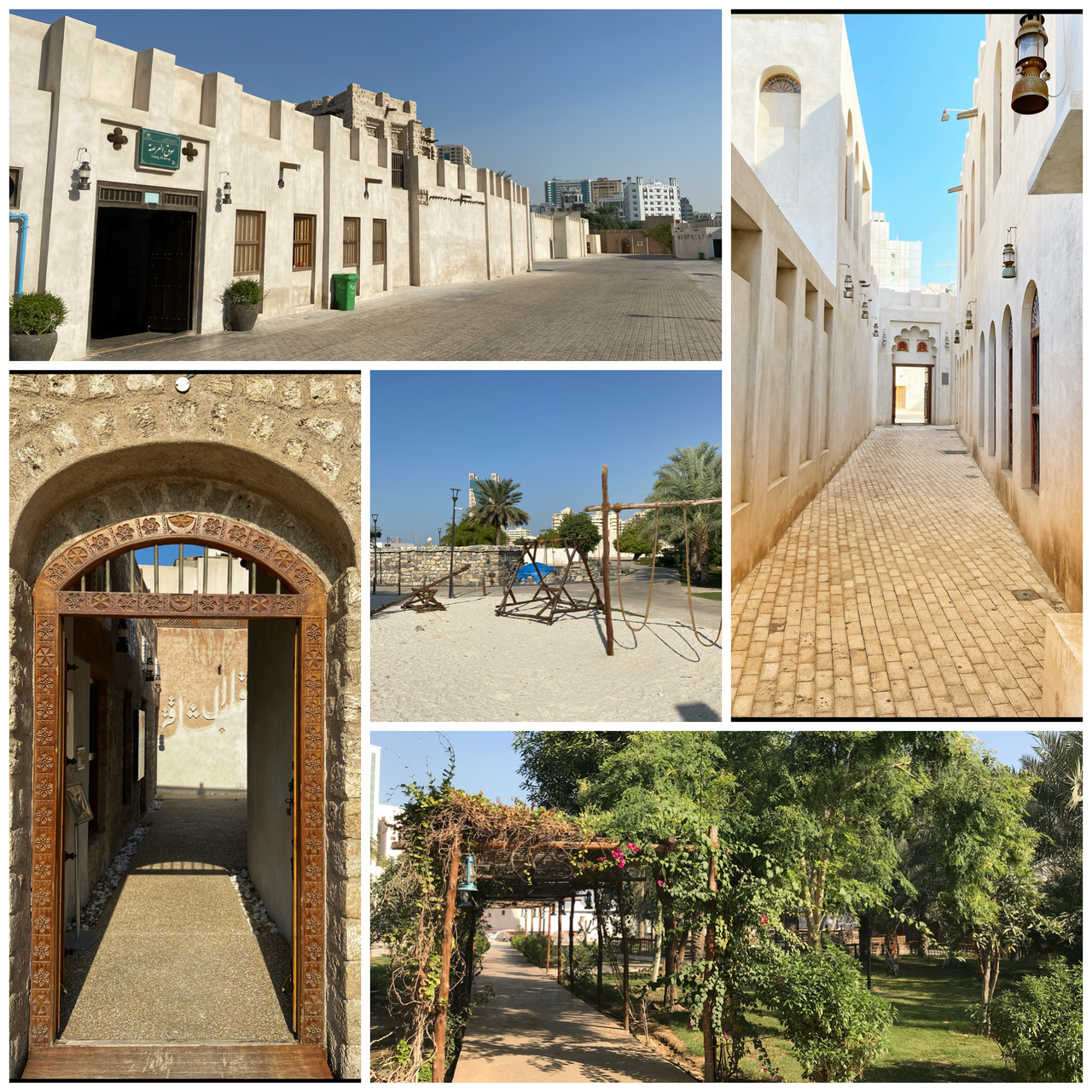
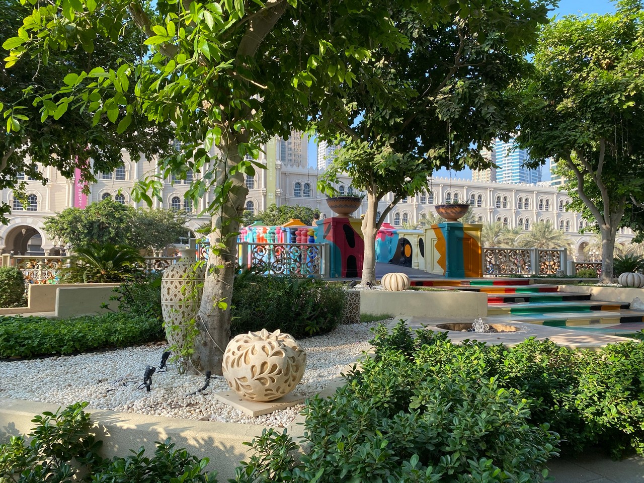
Heart of Sharjah – a gentle stroll through the old buildings of Sharjah which house museums and souqs, through quiet gardens and through to the Arts Area. Paved. On Sharjah Corniche.
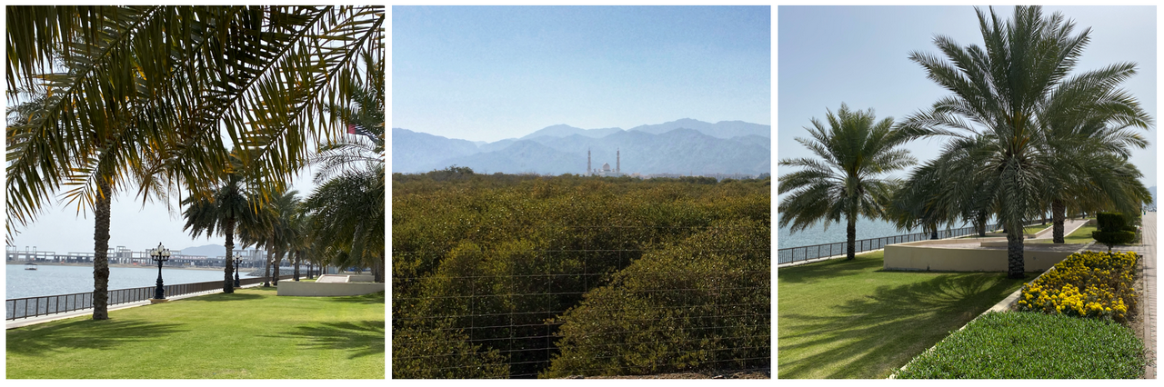
Sharjah Corniche – paved walkway, view of the port, dhows and traditional buildings.
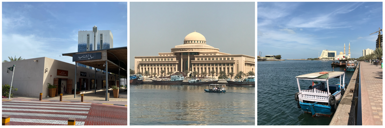
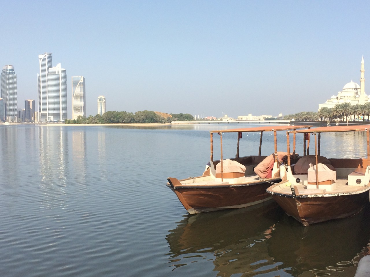
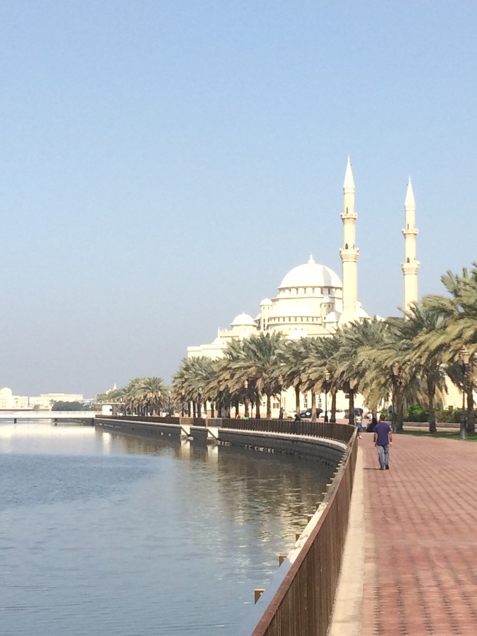
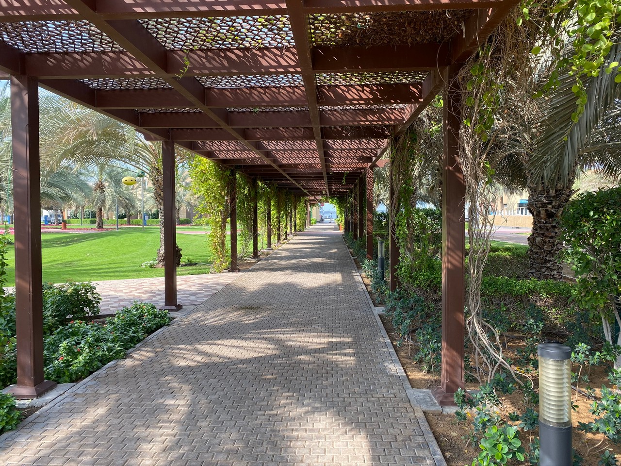
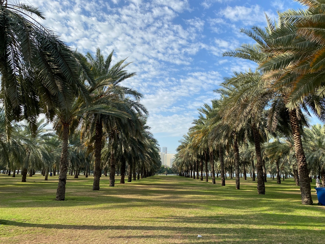
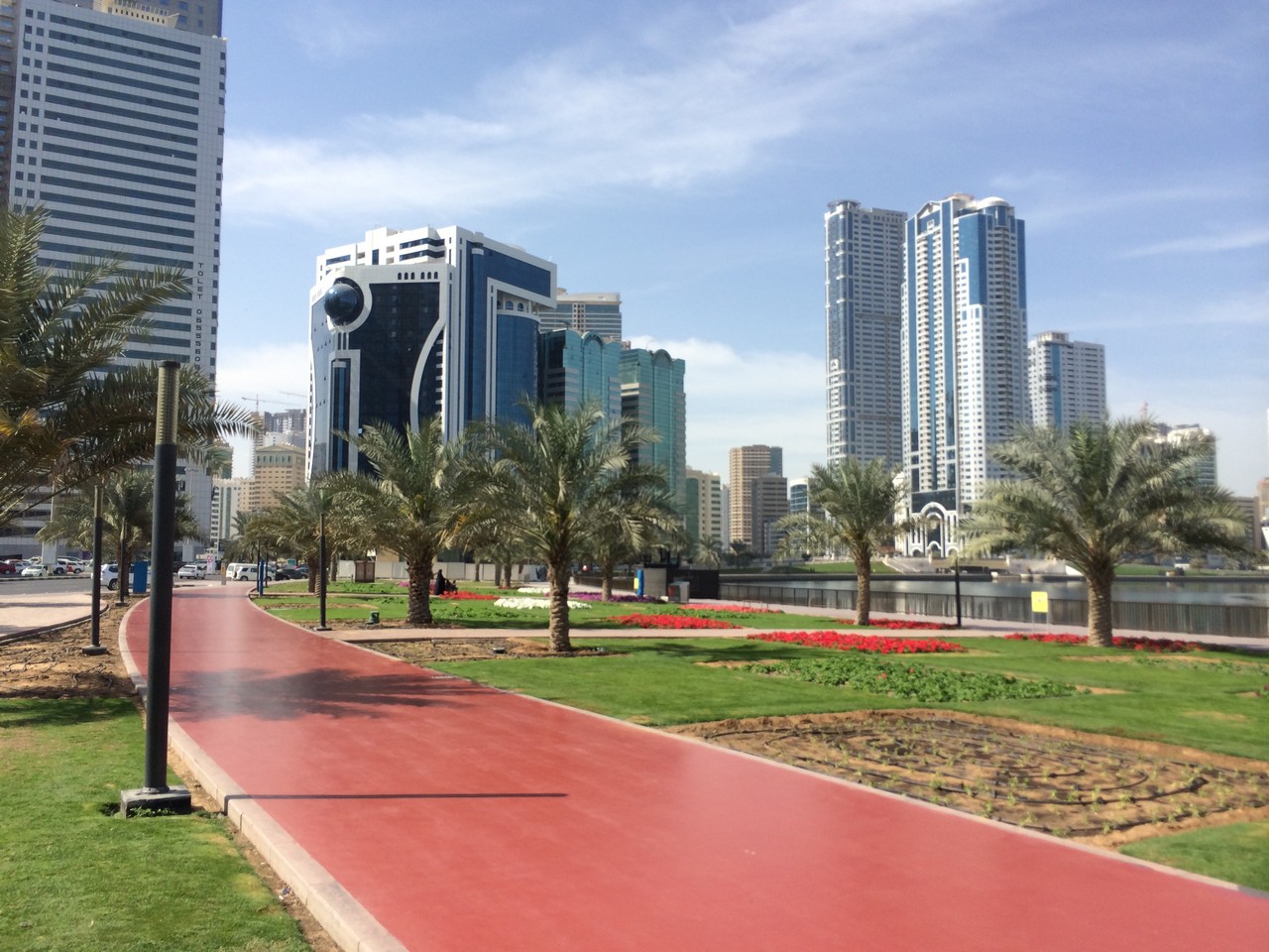
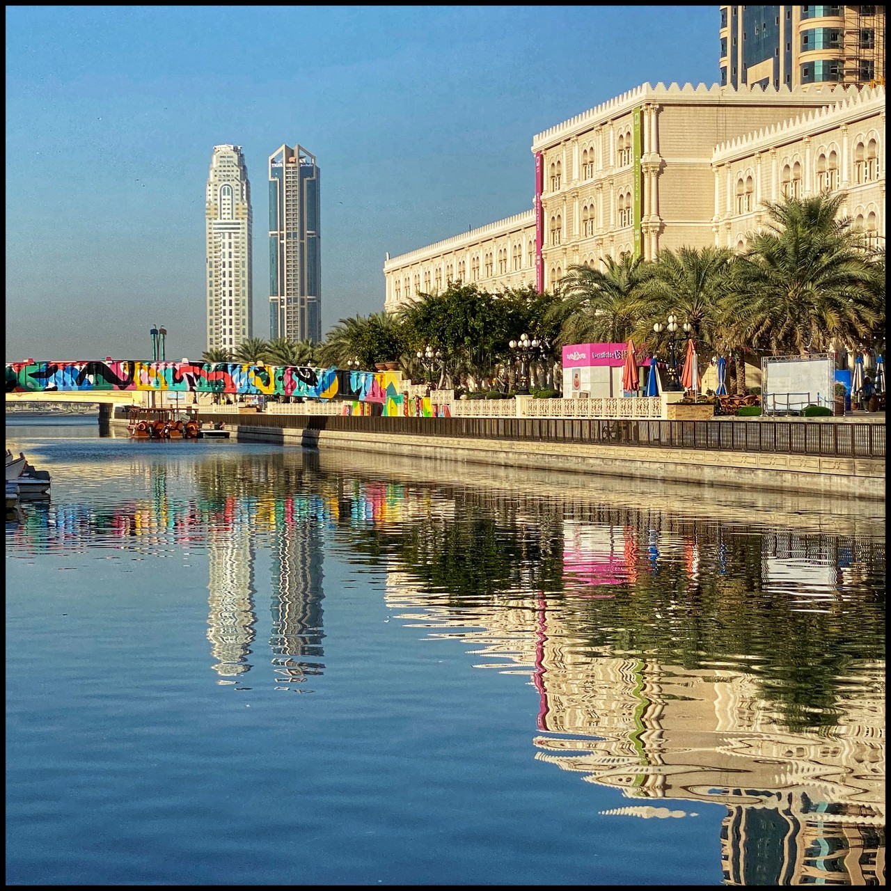
Buhairah Corniche – paved surface, goes right round the lake starting from near Crystal Plaza. Walk along the paved walkway or on the grass through palm groves to Noor Mosque, continue round through Majaz Waterfront along the waterside or through the gardens, continue further to the walkway left under the bridge to Al Qasba or continue straight around the lake to Al Khan Government Building Area or turn off before to Flag Island.
If you take the Qasba, you can also continue on under the bridge turning left towards Mamzar or right towards Al Khan and up to Sharjah Aquarium. For walking probably want to choose a stretch but you could cycle the longer route. View – Buhairah Lagoon, palm gardens, landscaped gardens, Al Noor Island, Arabic architecture, beach, Flag Island.
Sharjah Beach
Al Khan Beach
More walks away from the city
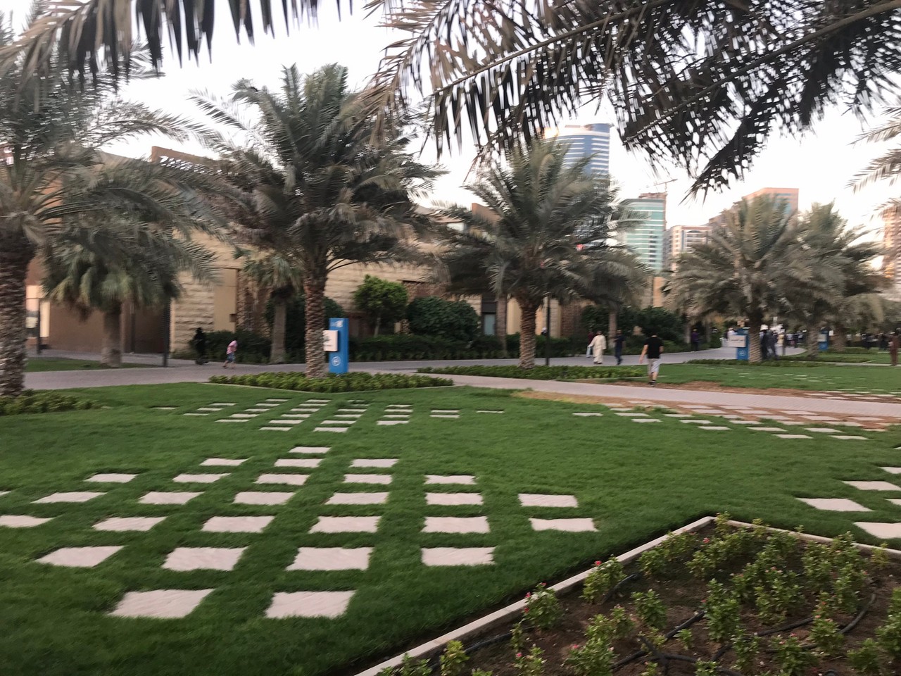
University City – walk on the paved sidewalks or cycle on the road through University City. View – Arabic architecture, landscaped gardens.
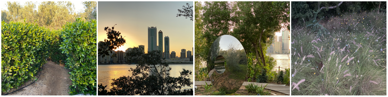
Al Noor Island for a gentle stroll through different habitats. Entrance Adults 35 , children 20, under 2 free. View – Foliage, design elements, Buhairah Lagoon,
Green Belt Ladies Park, paved walkway, entrance with membership card which can be obtained with EID. View – landscaped gardens. Facilities – toilets, play areas.
Various neighbourhood parks around Sharjah
Walks away from the city in Ajman
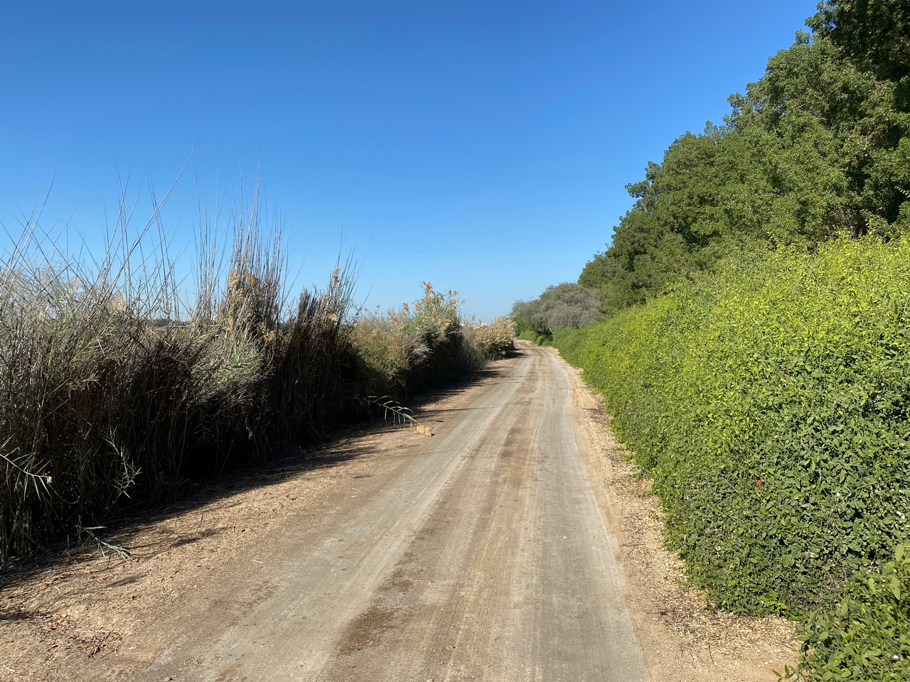
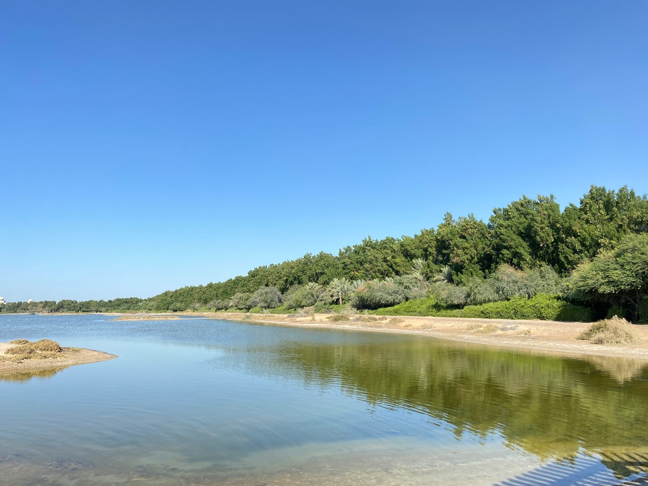
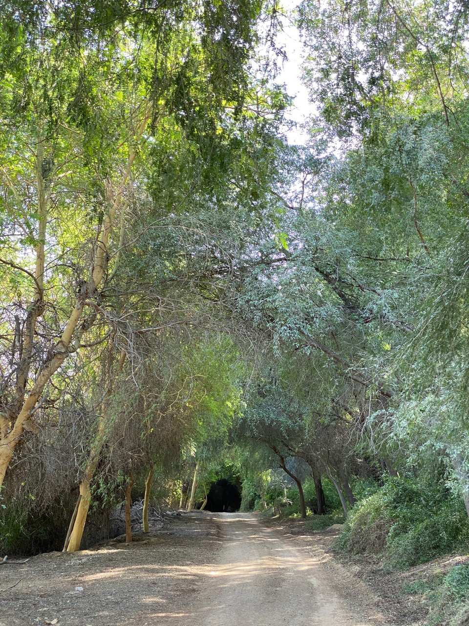
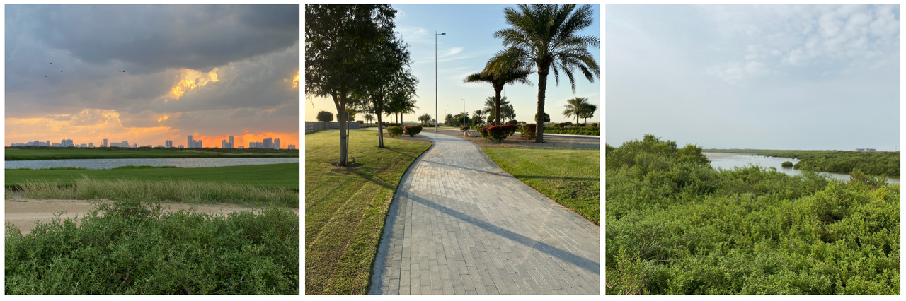
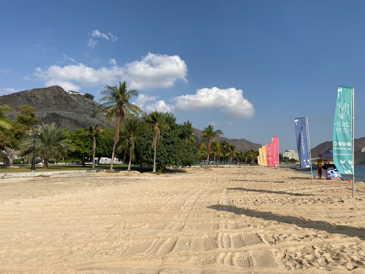
Al Qurm Walk, jogging track 4.5km, surface: rubber, two narrow parallel paved tracks, firm sand either side and beach part of the way. Solar lighting currently being installed. View – creek, mangroves, variety of birds. See Al Zorah
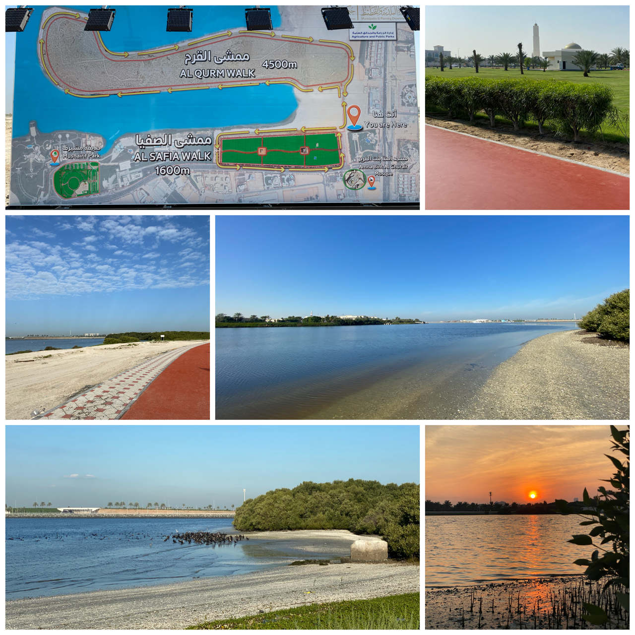
Al Safiya Walk, Safiya Park – rubber jogging track with parallel paved cycling track, circles park, 1600m, small public gym at far end. View – creek, park. Connects to Qurm Walk above. Cycles available for rent and play area in park for small children. (See photos above.)
Al Zorah, paved walkway starting at Al Zorah Marina and continuing until around 100m before the roundabout on Ittihad rd (ca 6km?) View – mangroves, creek, birds, golf course, landscaped gardens.
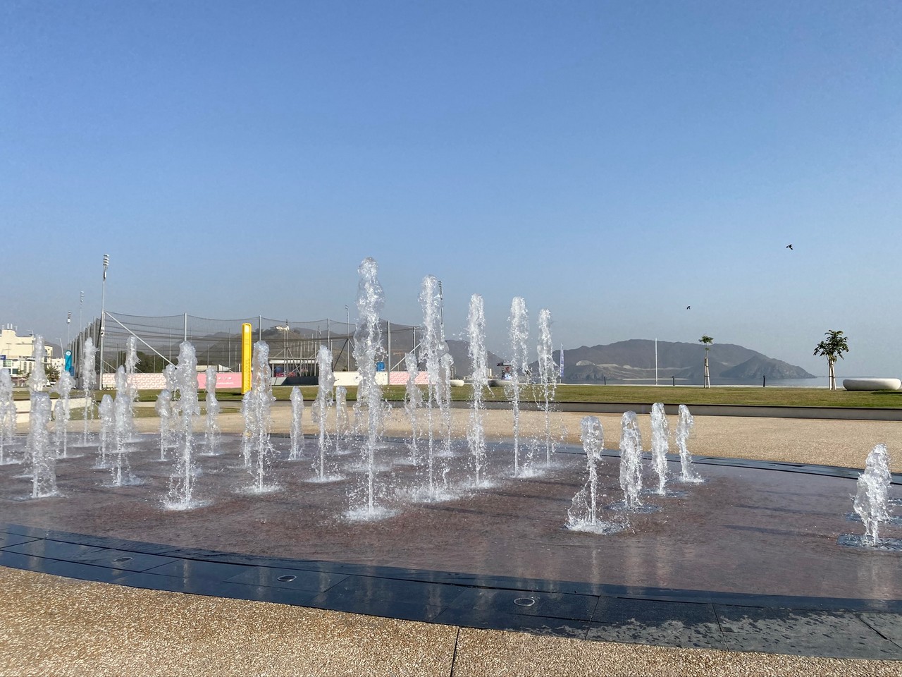
Ajman Sports Park, rubber jogging track and parallel cycling track (bushes between) , 400m, large public gym, open 24hrs. Facilities – toilets, mosque, children’s play areas, five aside football, basketball and badminton grounds, cafes. View – park, landscaped gardens
Ajman Corniche paved, beach, cafes. View – sea.
Zorah Beach, Ajman – short walk, can walk round creek side also, beach sand and firm sand, fishing permitted with licence, no facilities. View – sea, creek. Bicycles can be hired at Quest for Adventure.
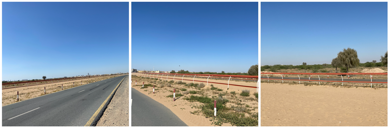
Al Tallah Camel Race Track – paved road circling the race track with a detour round the pavilion and sandy plain along the side. You can walk on the sandy part. There is also a paved road on the inside of the track.
Obviously you can’t use the camel track itself as this is also used for daily training, but the options are outside road with occasional cars, inside road with cars during races only, sandy area on the other side of the road, or inside green, sandy area.
If you zoom in, you can see all these. Avoid Thursday mornings as camel races are held every other Thursday (not sure about weekend mornings). View – camel race track, camels, sandy plains, residential area on one side.
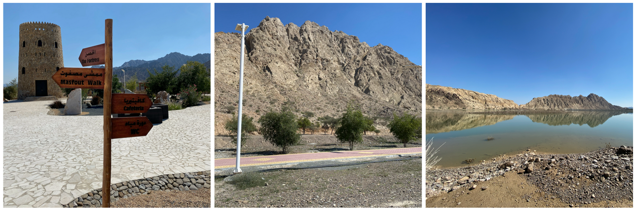
Masfoot – jogging and cycling track from dam to near fort. View – mountains, forts, gardens, stream in latter winter. Walk around lake near the dam.
Walks away from the city in Umm al Quwain
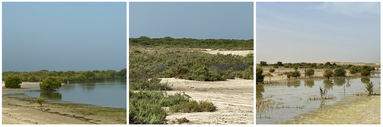
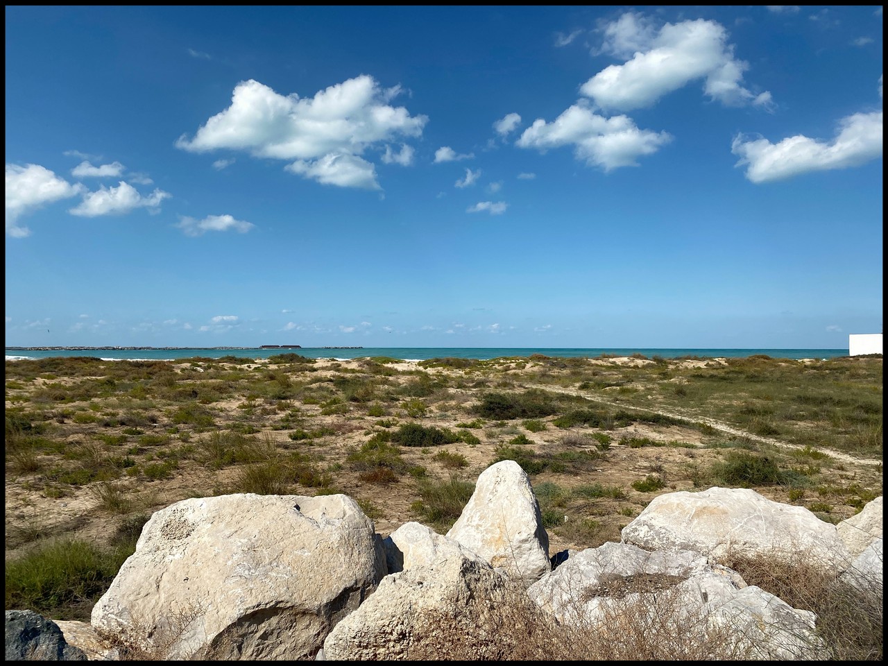
Khor al Baida – Mangrove Forest – firm sand suitable for waking, running or cycling, probably not for scooters. No facilities. View – mangrove forests, salt flats, birds, sea, small beach, mangrove islands, (creek, port at southern end)
The full length is around 6km so you could do up to 12 km end to end. (Update – this area has recently turned into a paid camping area near the beaches)
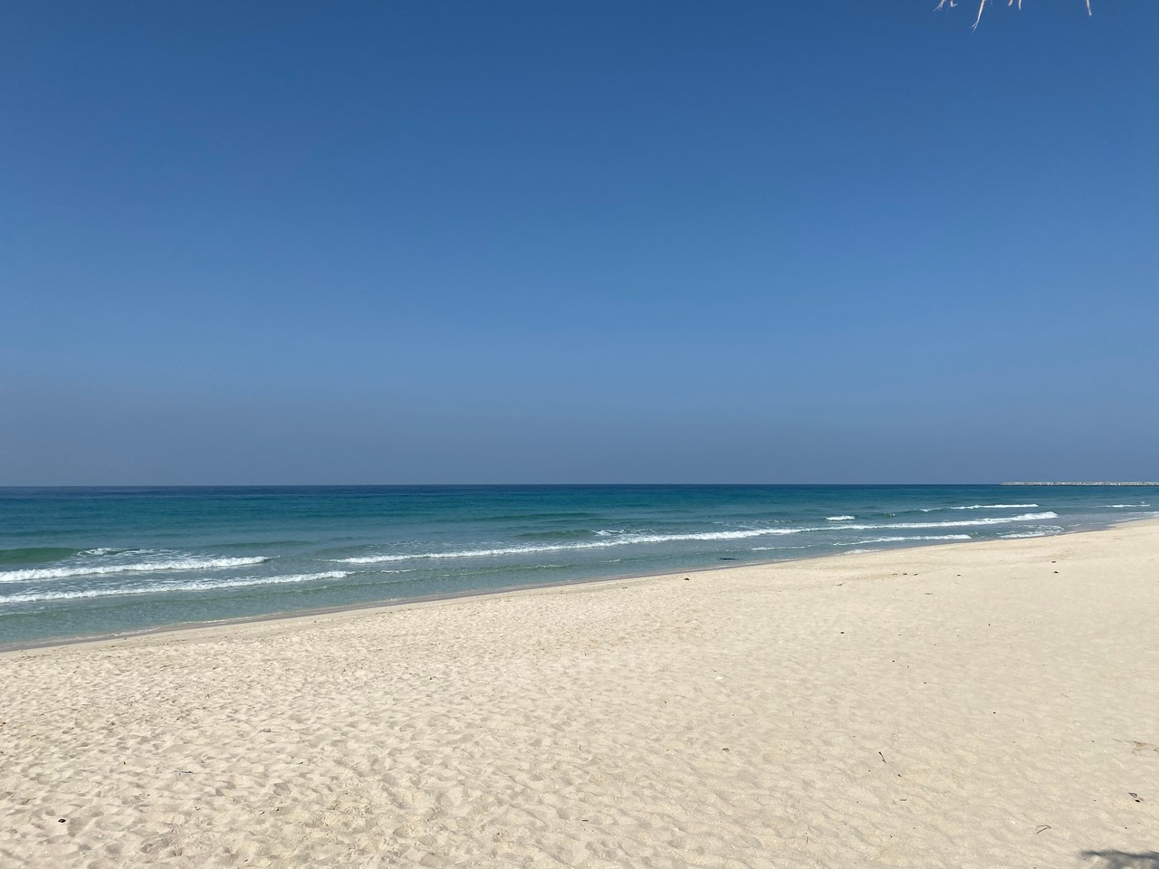
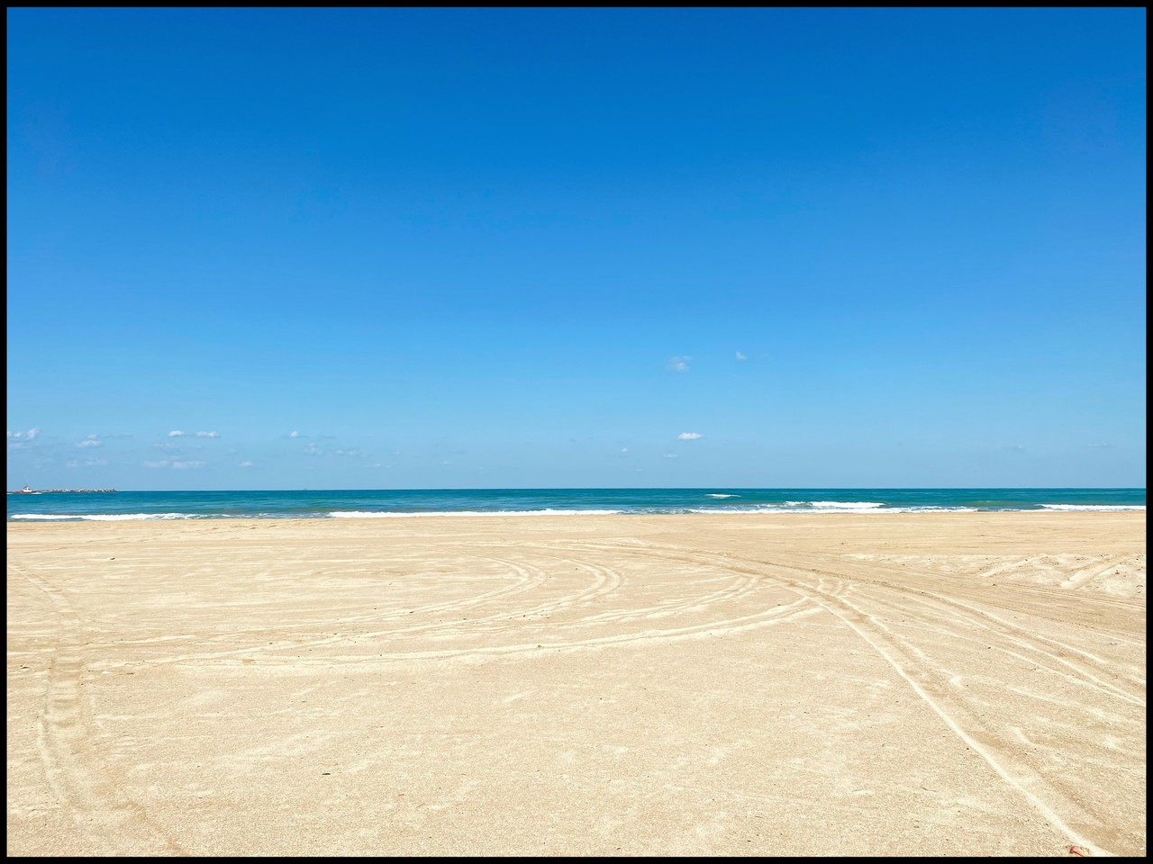
UAQ Beach – long stretch of beach and corniche (could possibly walk all the way to Sharjah Waterfront, Hamriyah on the beach but I’ve not tested that) View – sea. Public gym on Kite Beach. There is a cafe at Kite Beach Centre if you’re peckish after your walk and they have a variety of water sports.
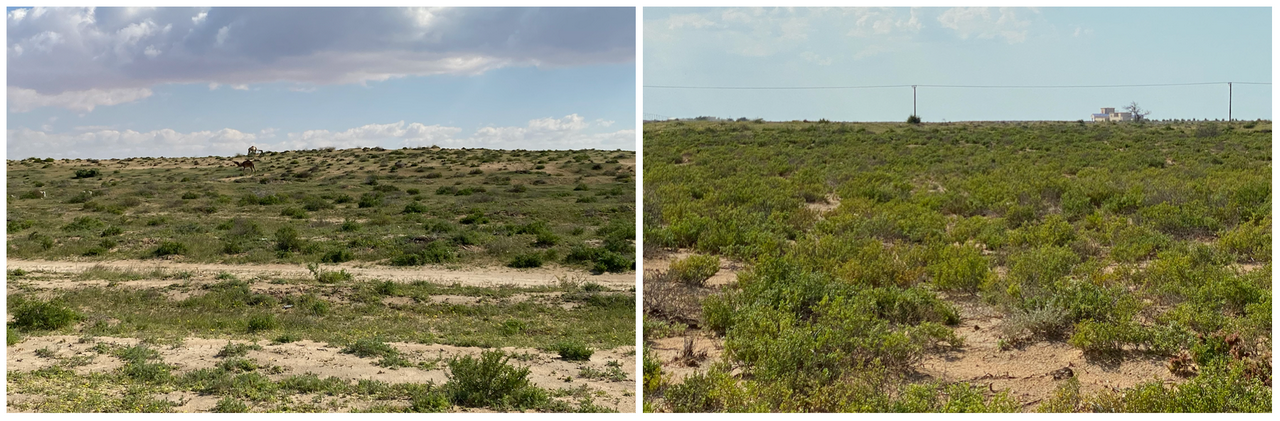
UAQ Coast – between the mangrove forest and Ras al Khaimah, there are lots of areas to walk between the roads and the sea which are pretty green at the moment (March 2020). Looks like a great place if you have a dog. Some parts have low grassy sand dunes.
Walks away from the city in Ras al Khaimah
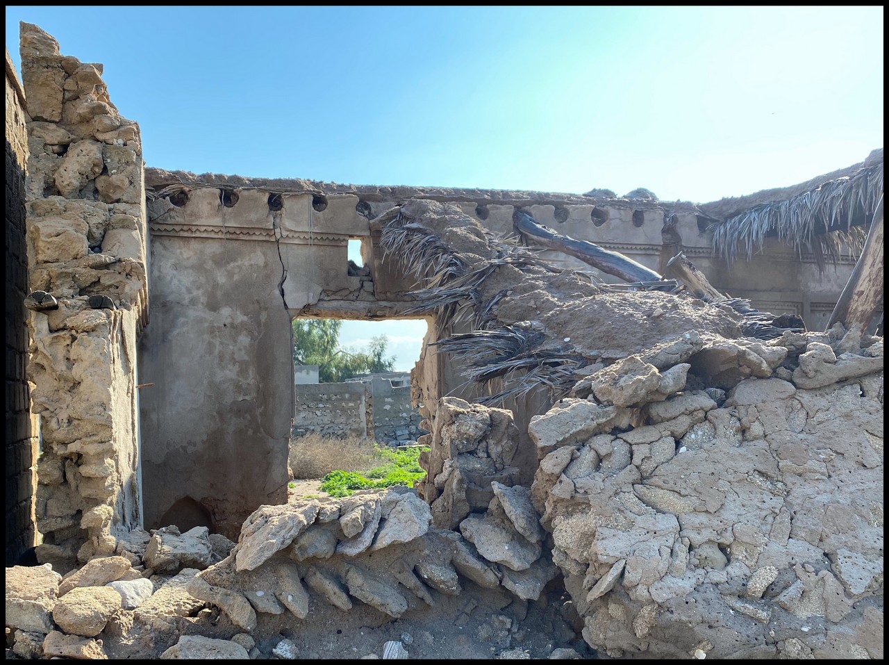
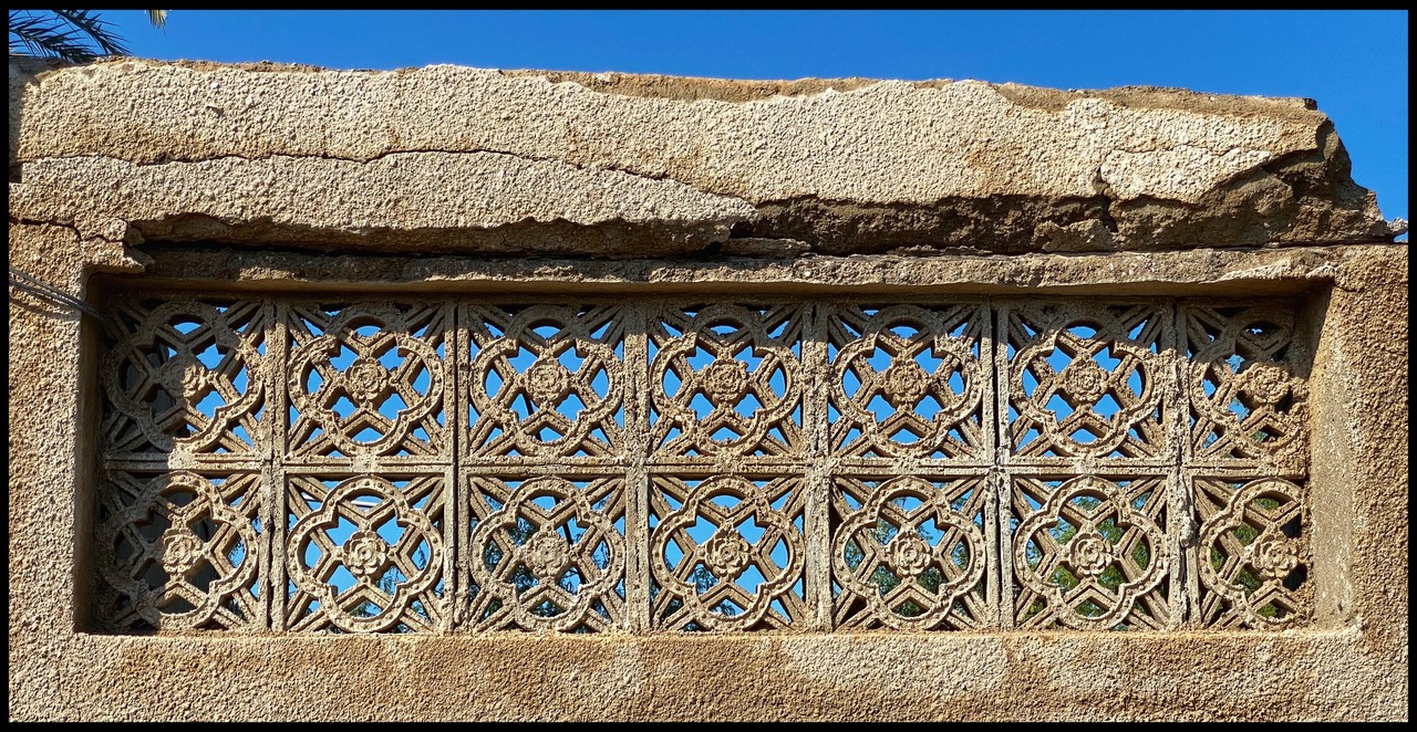
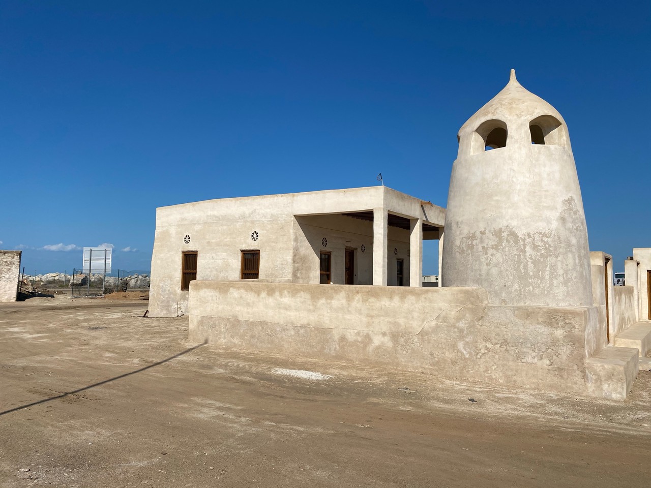
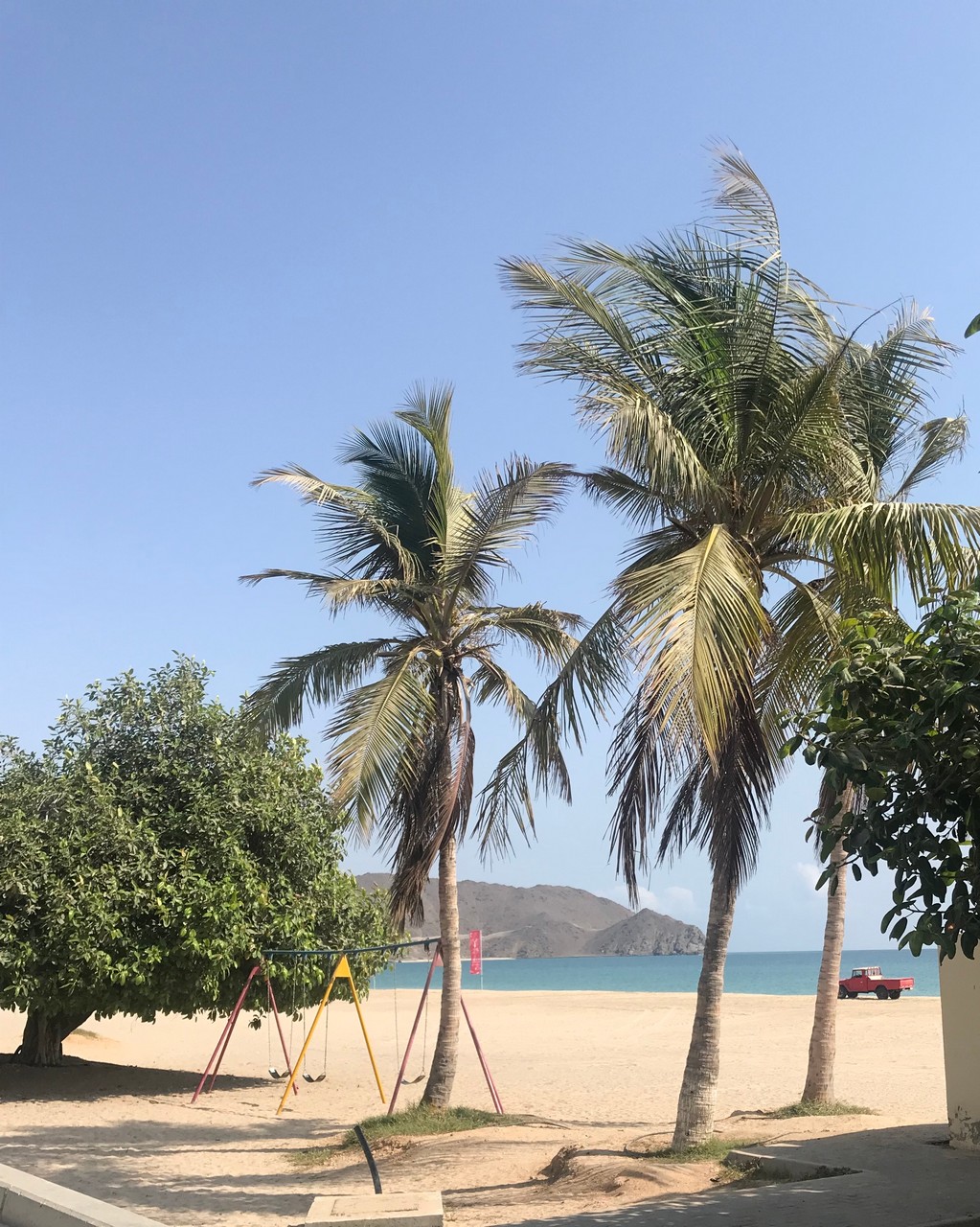
Al Hamra Beach – add in a walk around the old abandoned village. View – sea, traditional buildings.
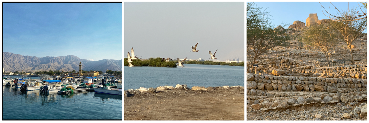
Ras al Khaimah Corniche
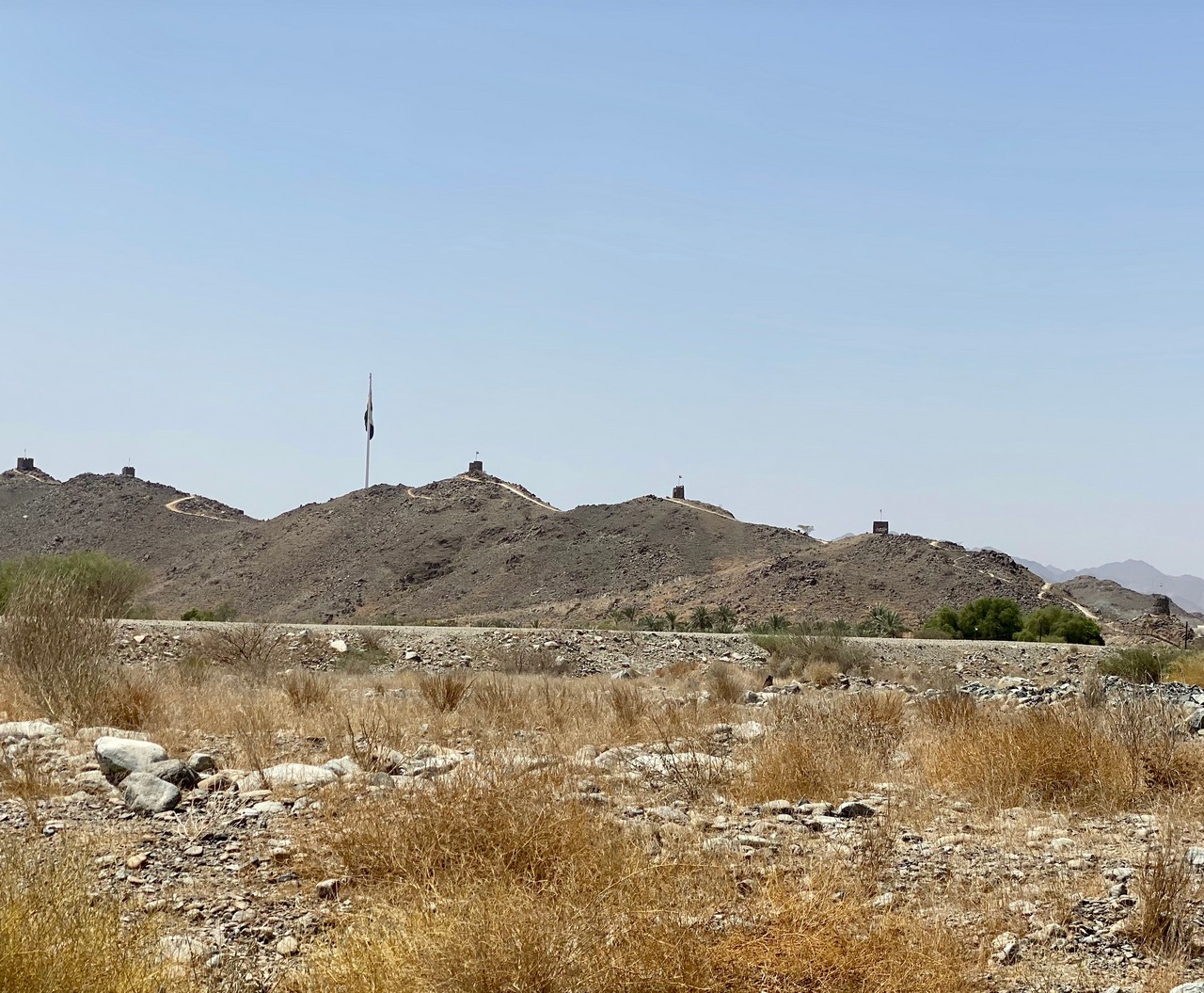
Rams Corniche (follow by climb up to Al Dhaya Fort) View – sea, harbour, mountains, plains.
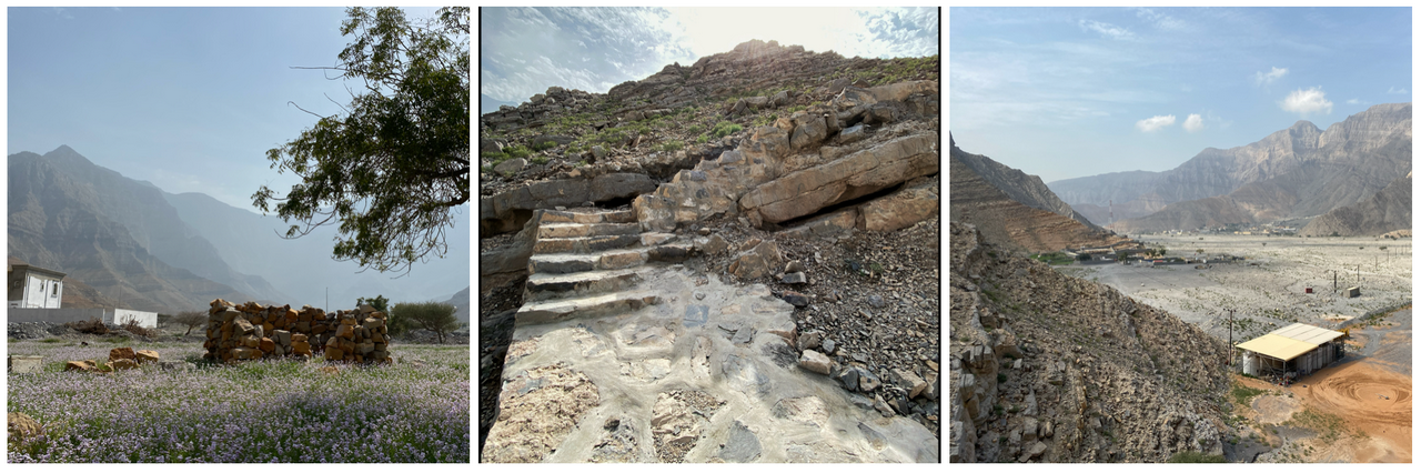
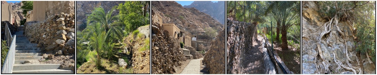
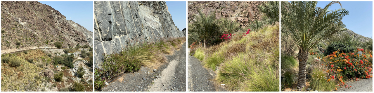
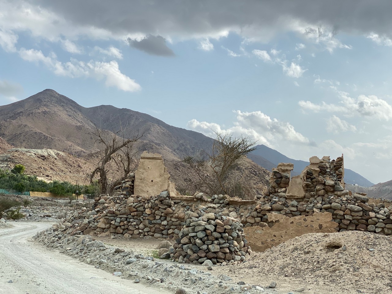
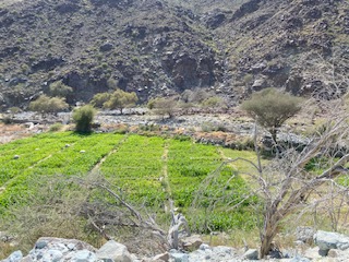
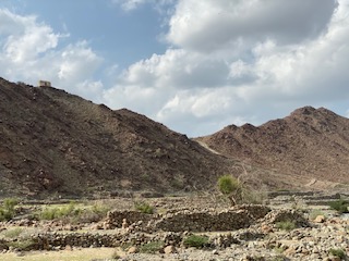
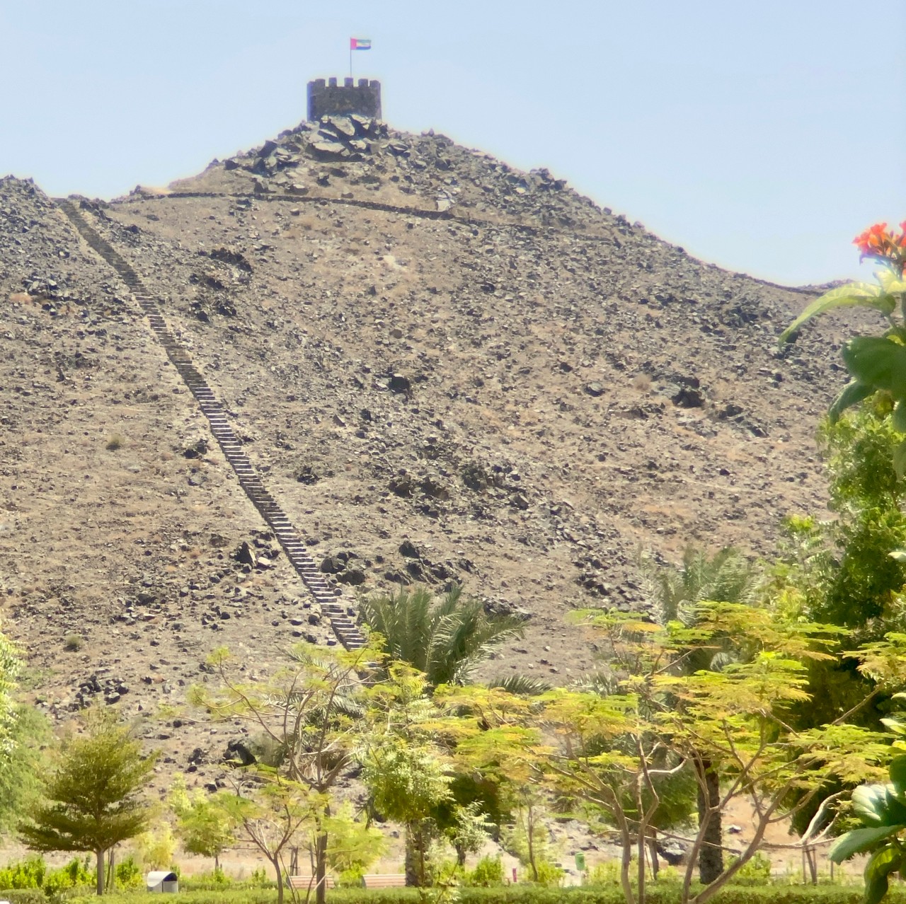
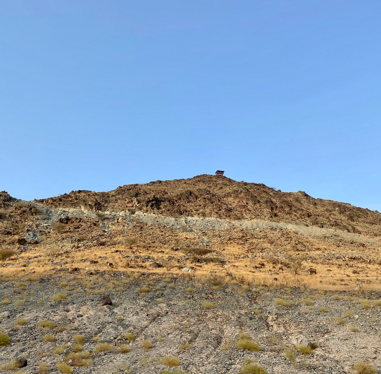
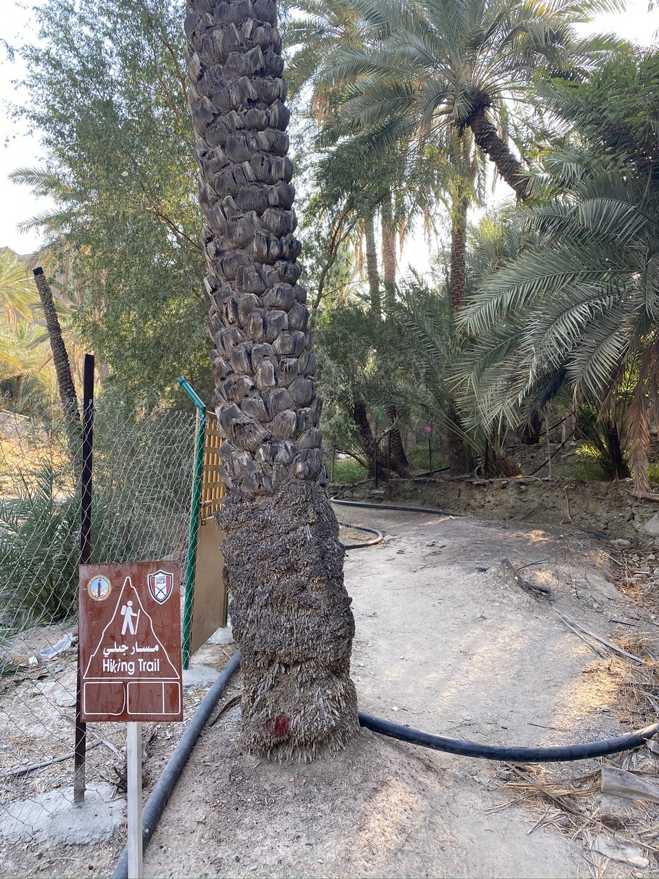
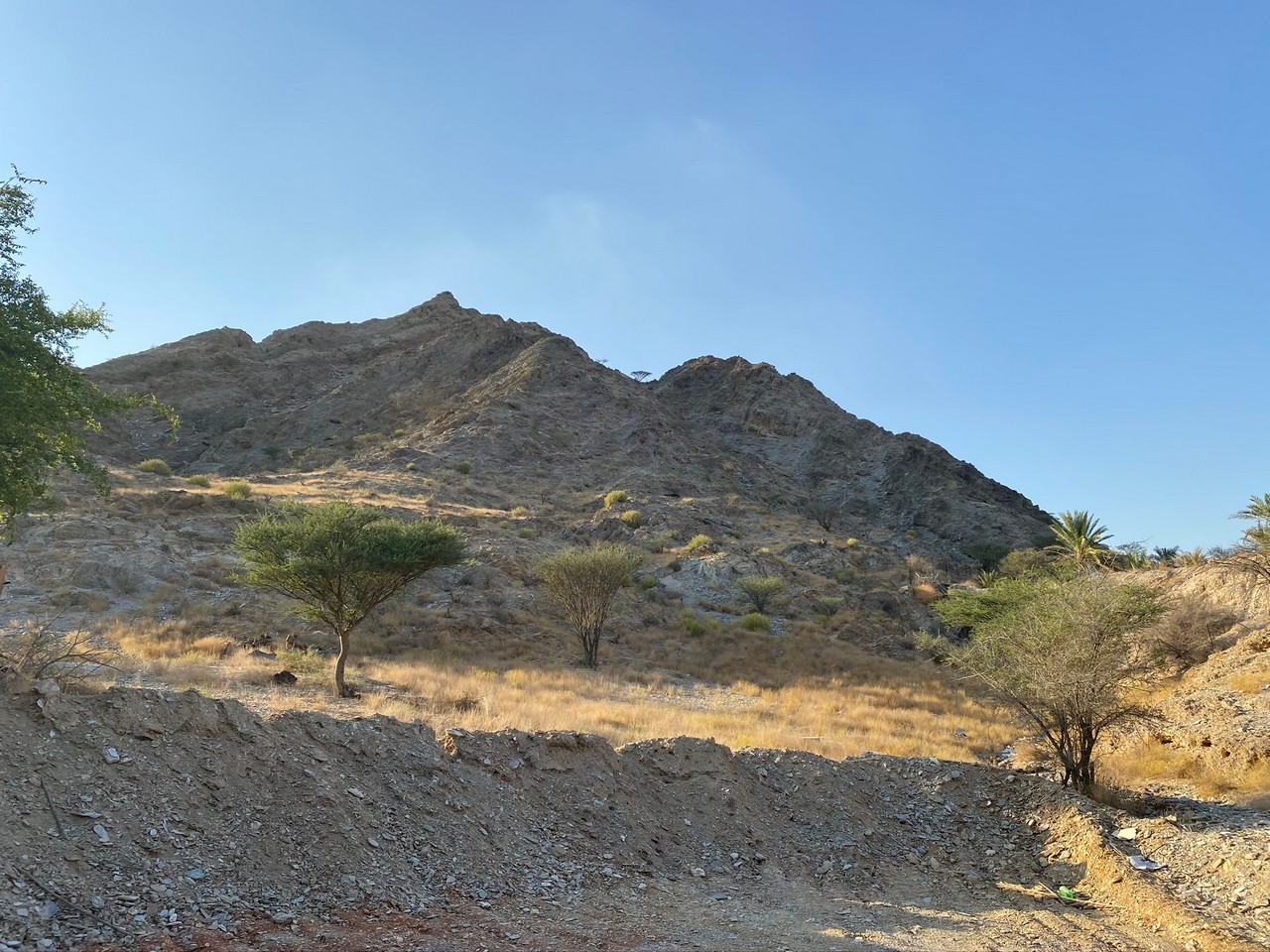
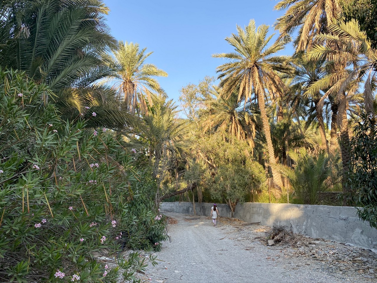
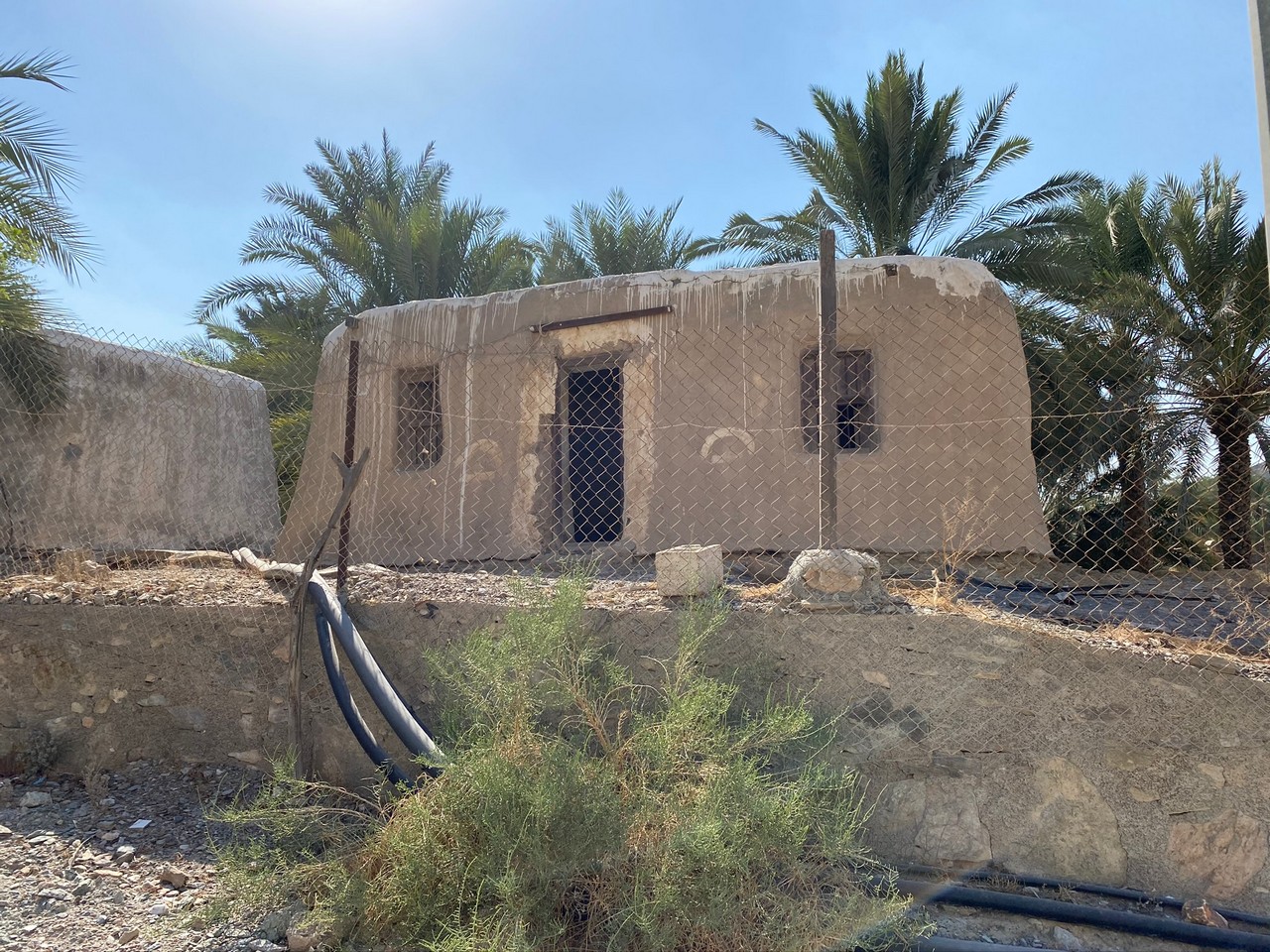
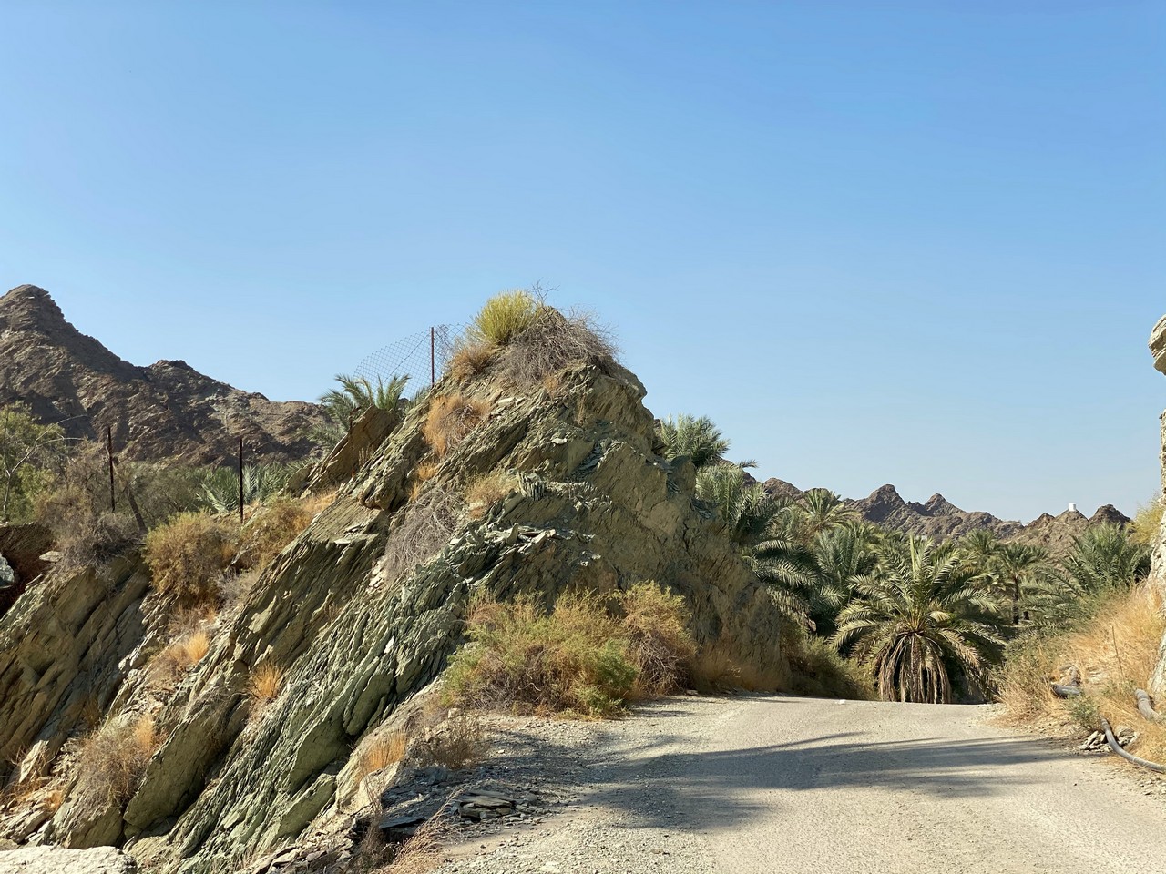
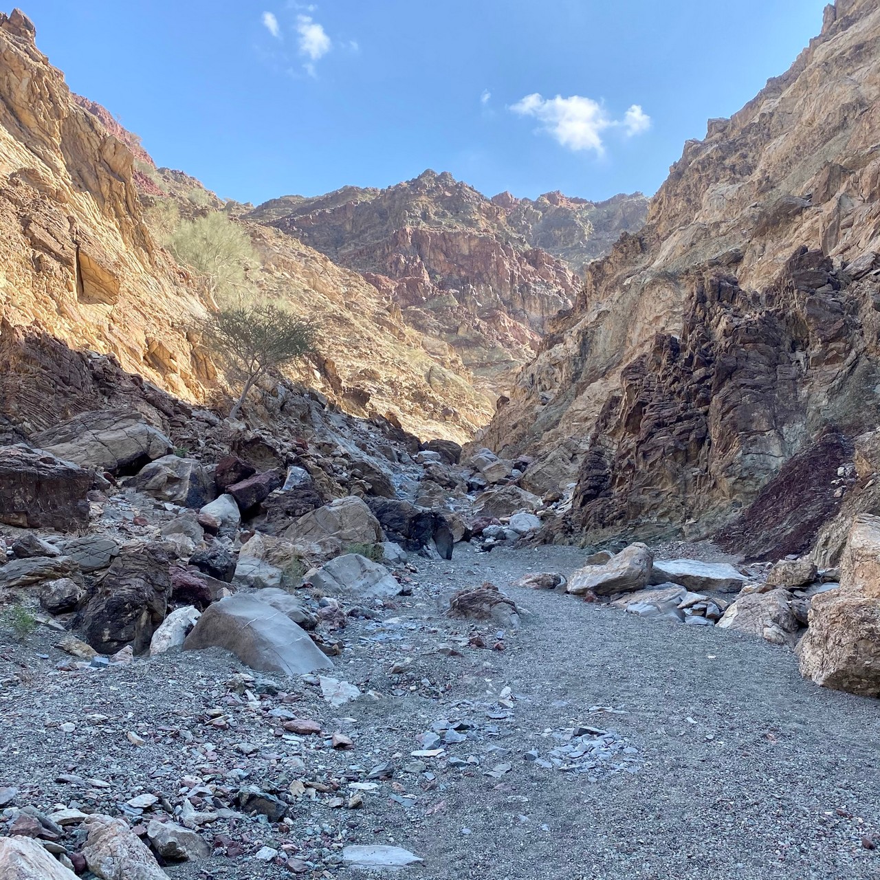
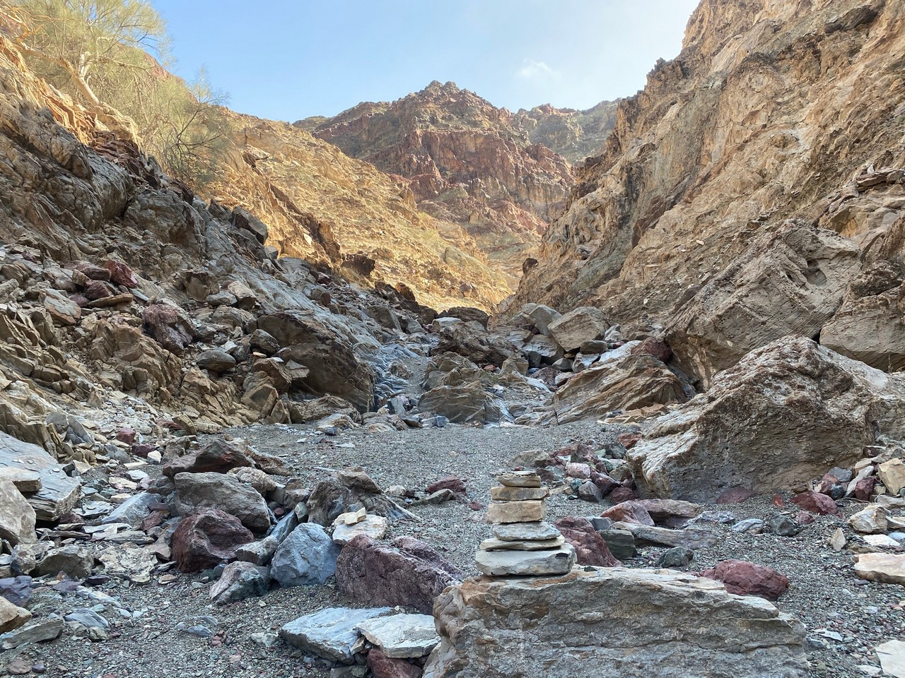
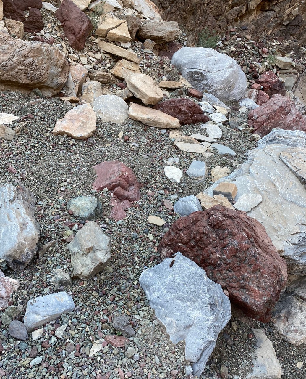
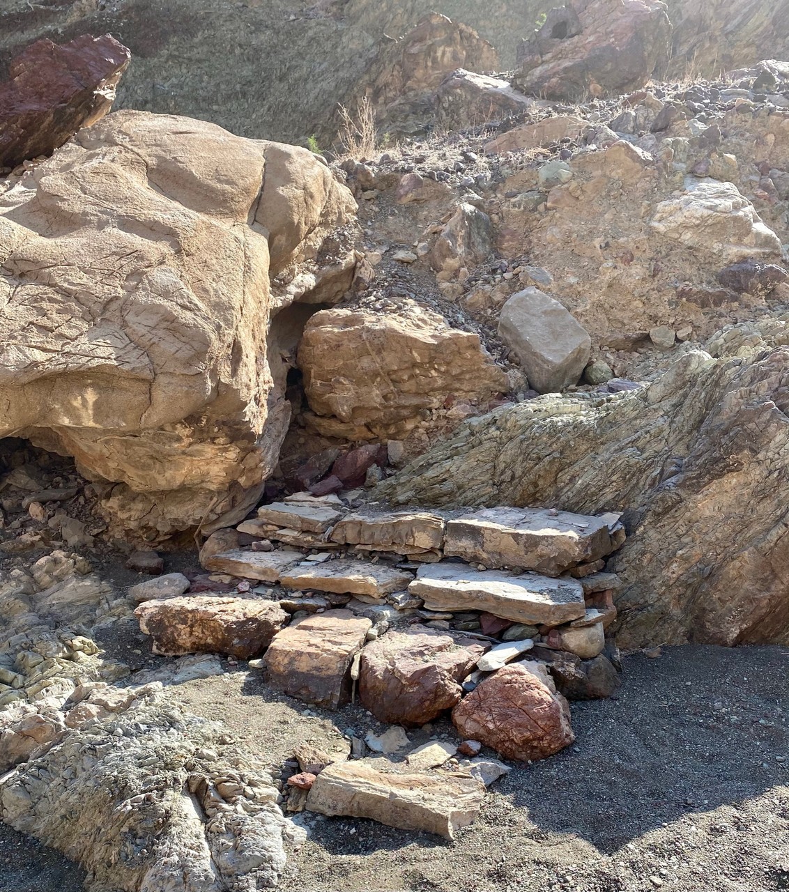
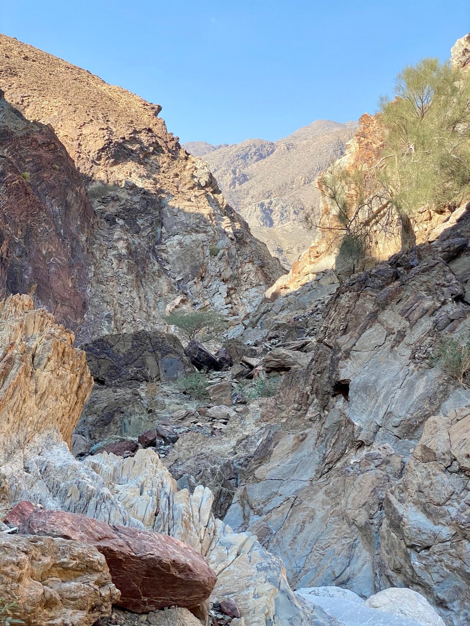
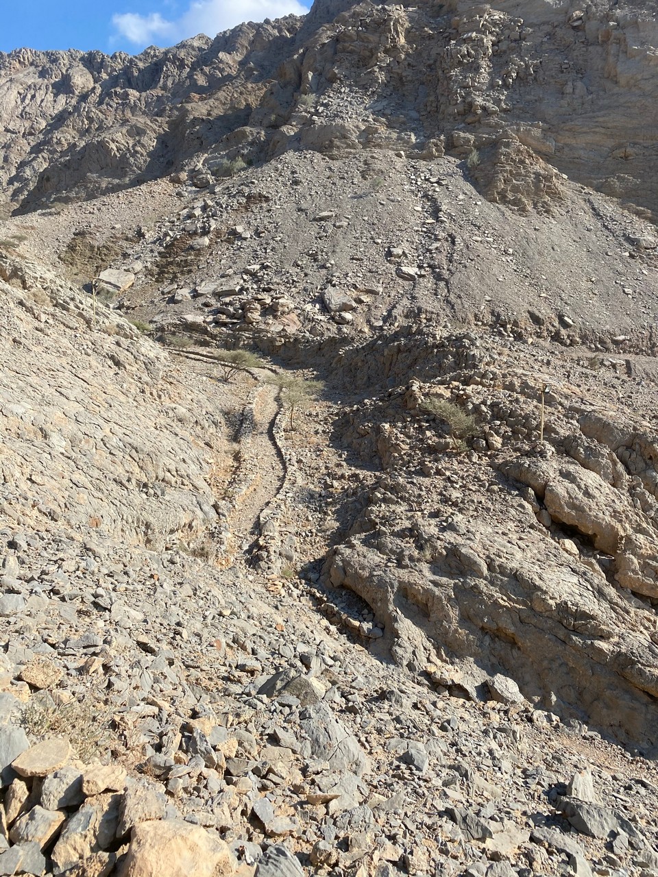
Wadi Ghalilah – walks through fields, on road or firm sand, short (and long hikes). Views – mountains, old villages and buildings, foliage.
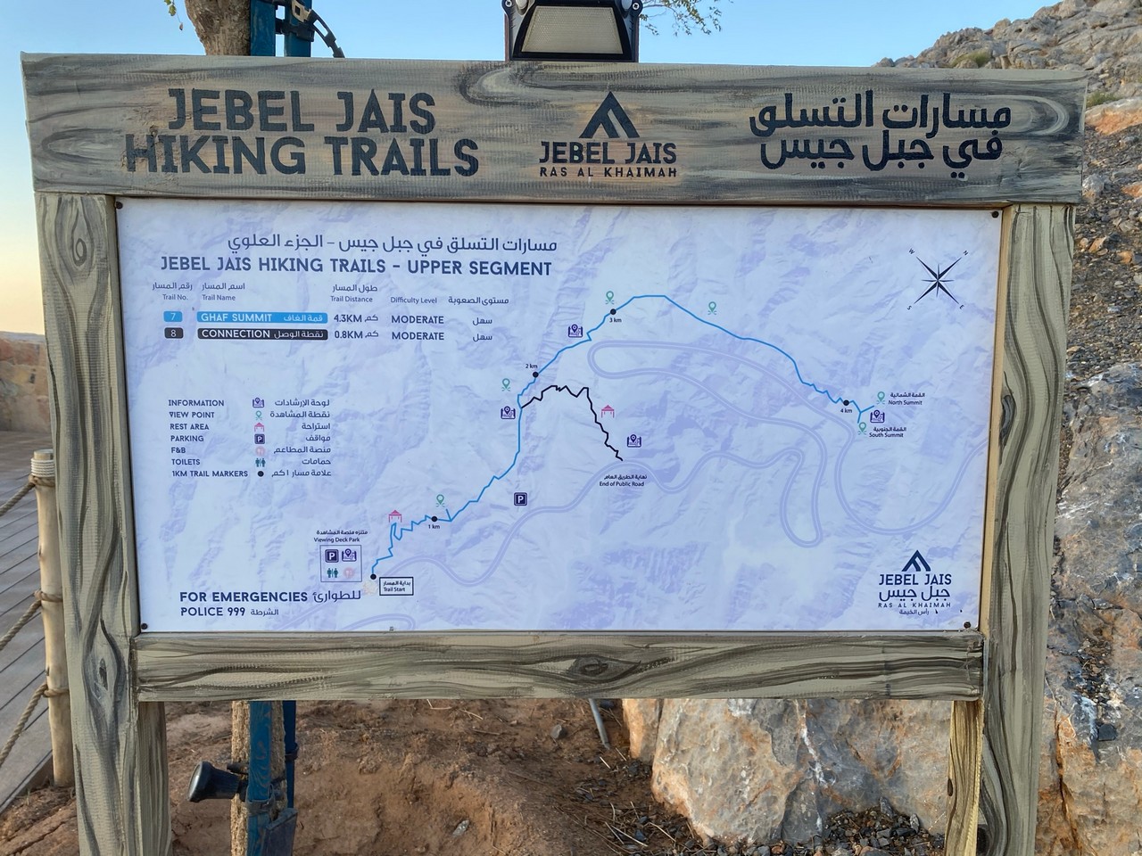
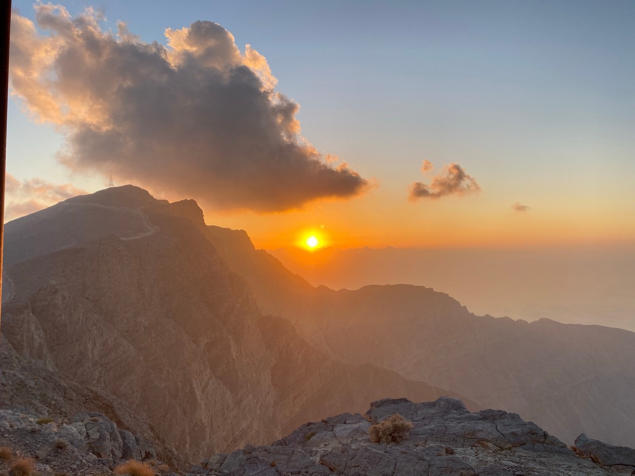
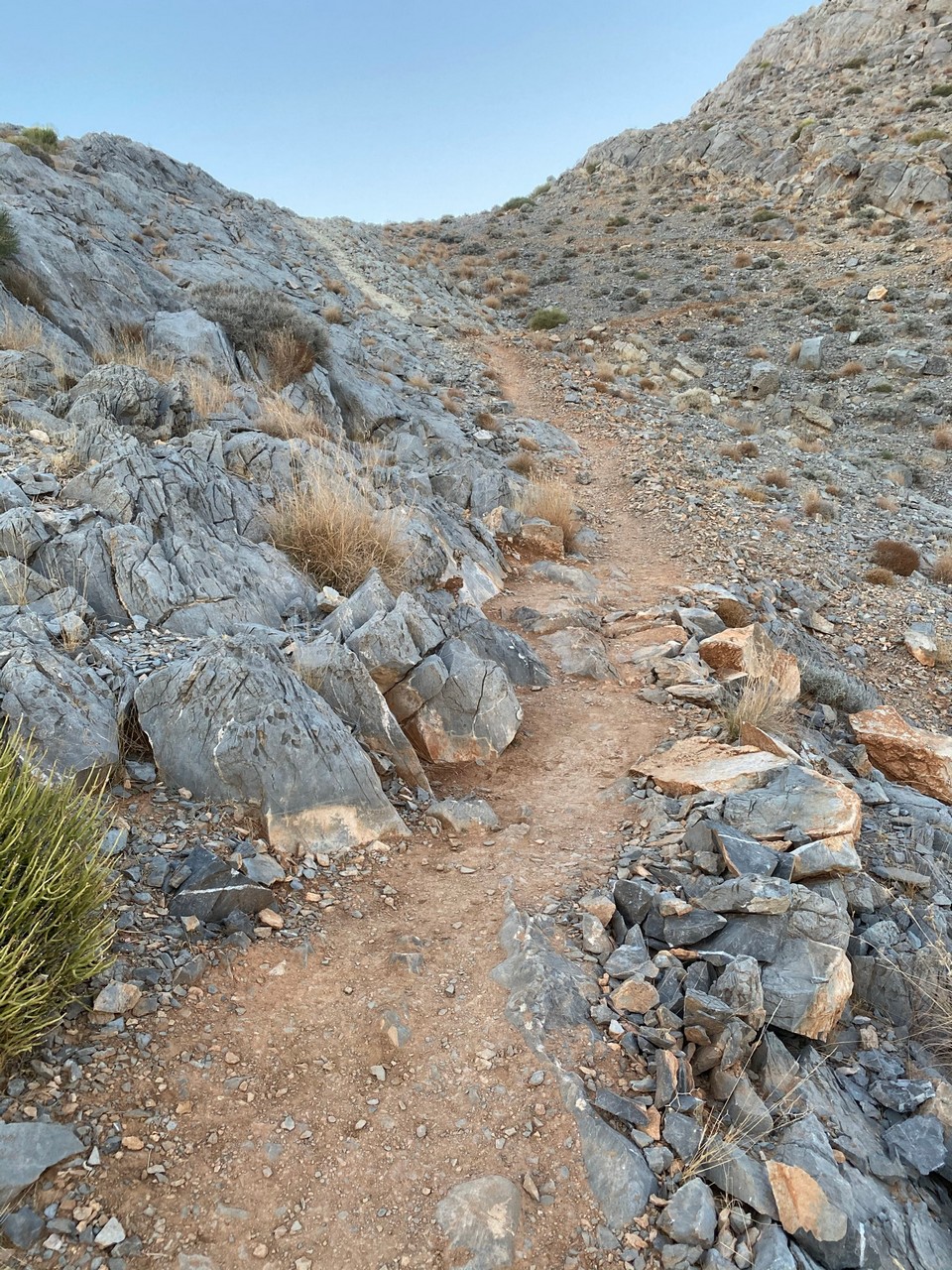
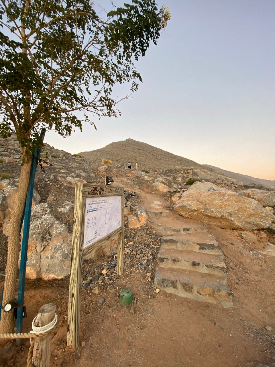
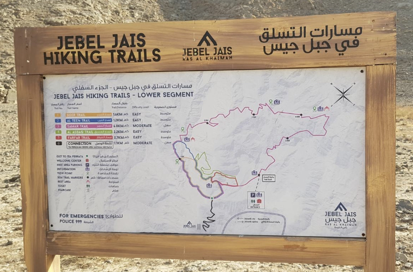
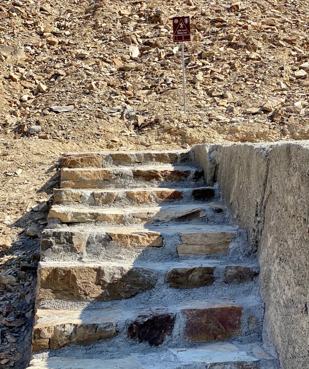
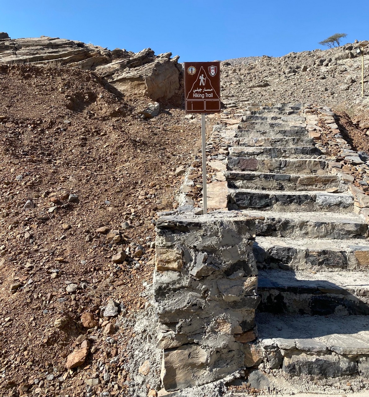
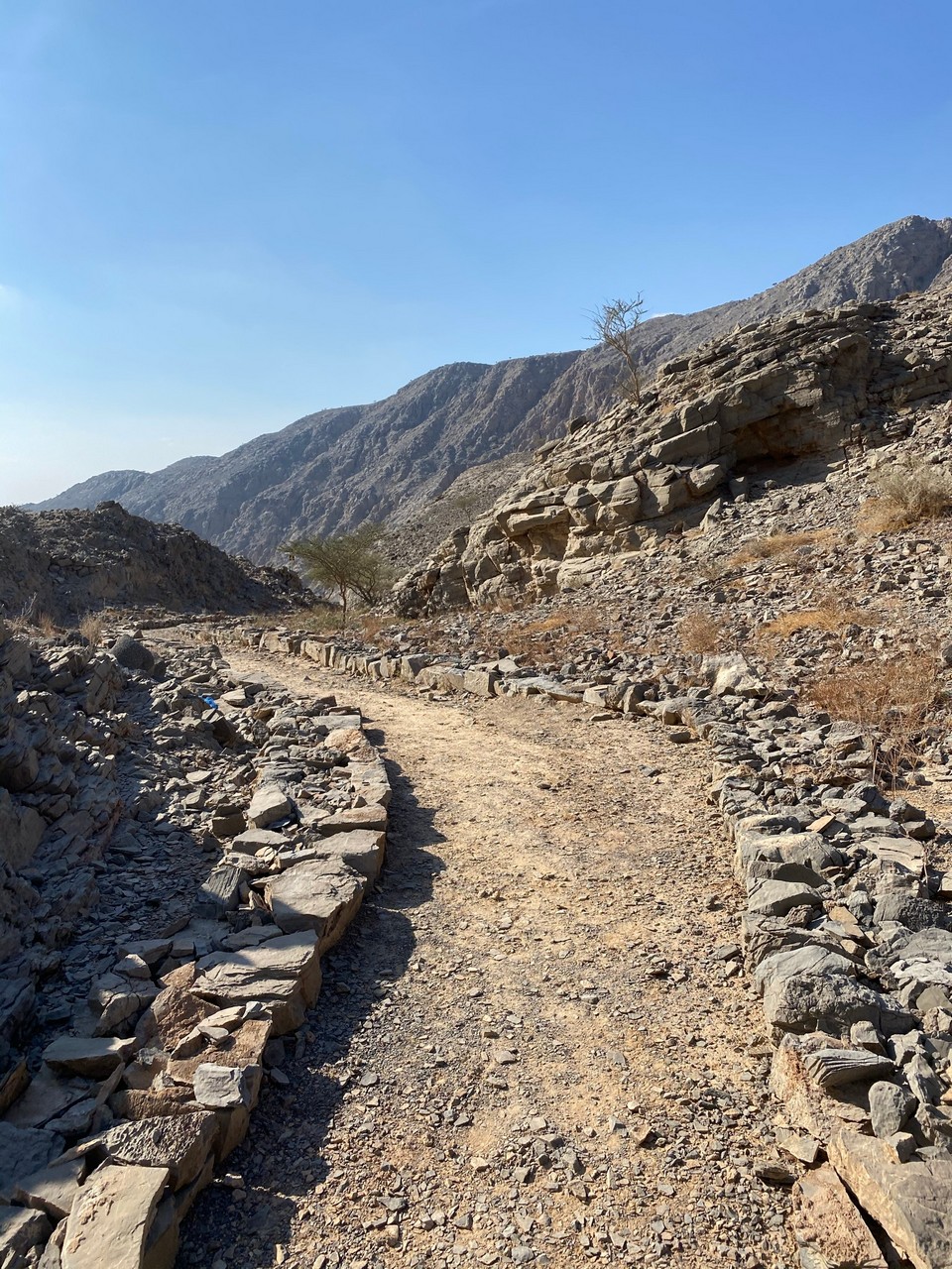
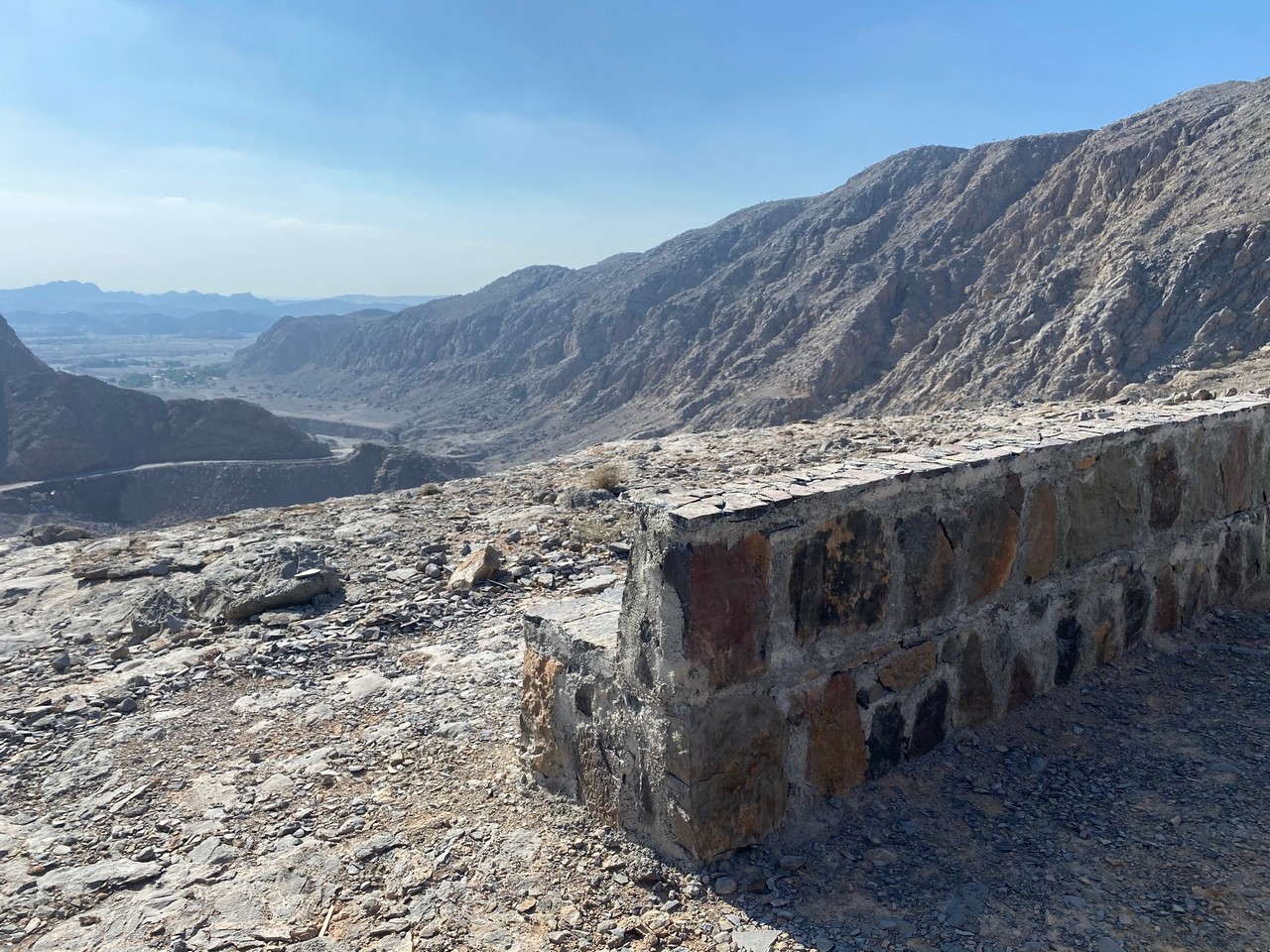
Jebel Jais trails
There are several trails around Jebel Jais from easy to difficult and at the top and lower down. Here is the top one and the maps. See more here
Walks away from the city in East Coast and Central Region
Beaches – Kalba, Fujairah, Loulou’a, Zobara, Dibba. Views – sea, mountains
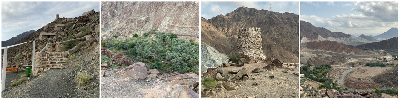
Wadi Shees – climb up I’m guessing around 100 steps but you can also start at the other end with fewer steps then a gentle incline) to and walk through Old Residential Village. View – trees, farms, mountains, old houses
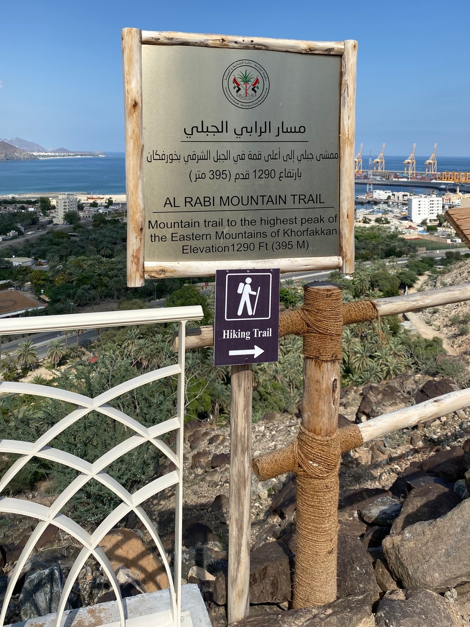
Al Rabi Tower Hike, Khor Fakkan, hike from the tower to the highest mountain in the town of Khor Fakkan. Requires sensible shoes, water, etc.
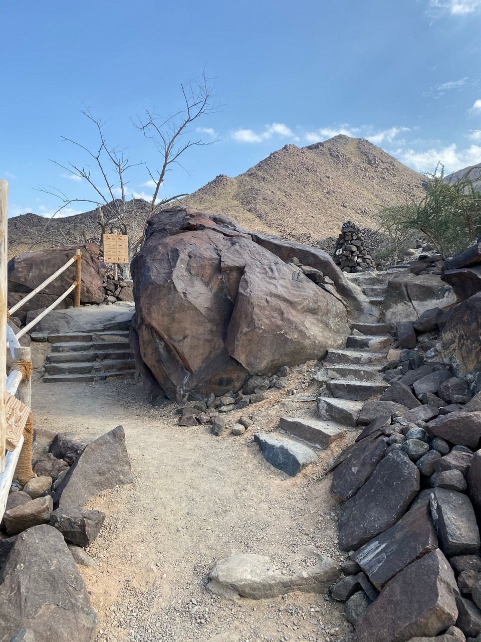

Al Rafisa – The Walk, a relatively gentle incline down to Wadi Shie. You can continue into Wadi Shie and Al Miqsar Village. View – mountains, foliage, old village and fort.
Khor Fakkan Corniche – jogging track and paved, view – sea, mountains, gardens.
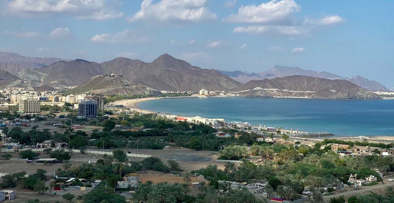
Dibba al Hisn, round the long Corniche of Hisn Island. View – sea, mountains, Dibba (Oman) bay.
Dibba al Hisn Canal – jogging track and parallel paved way along the canal, small public gym at either end of the Corniche. (Can continue along to Dibba al Hisn beach.) View – sea, mountains, canal, gardens.


Kalba Corniche Walk, along Kalba Lake, paved. View – lake, mangroves, mountains, gardens. (This is further south than Kalba beach)
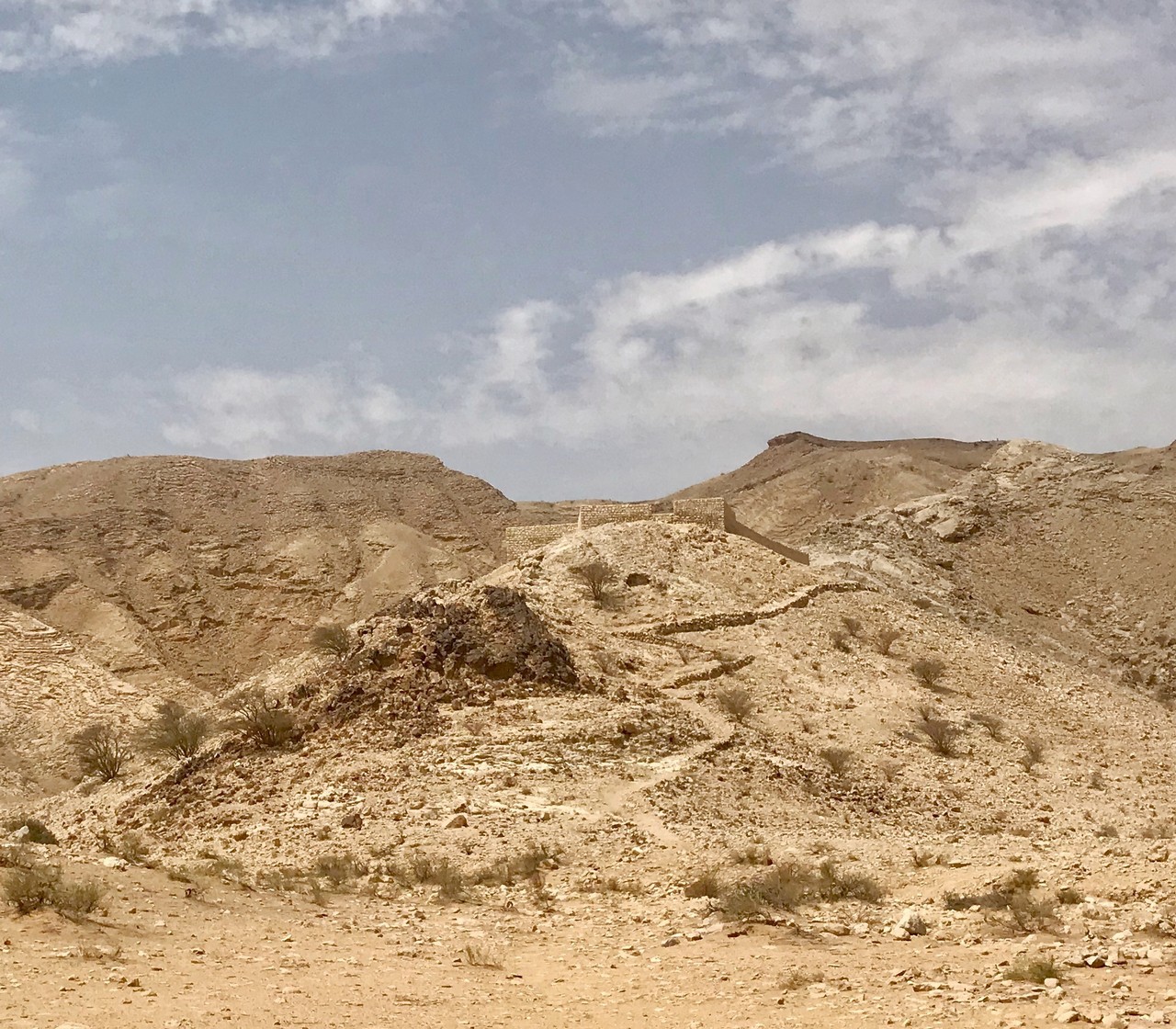
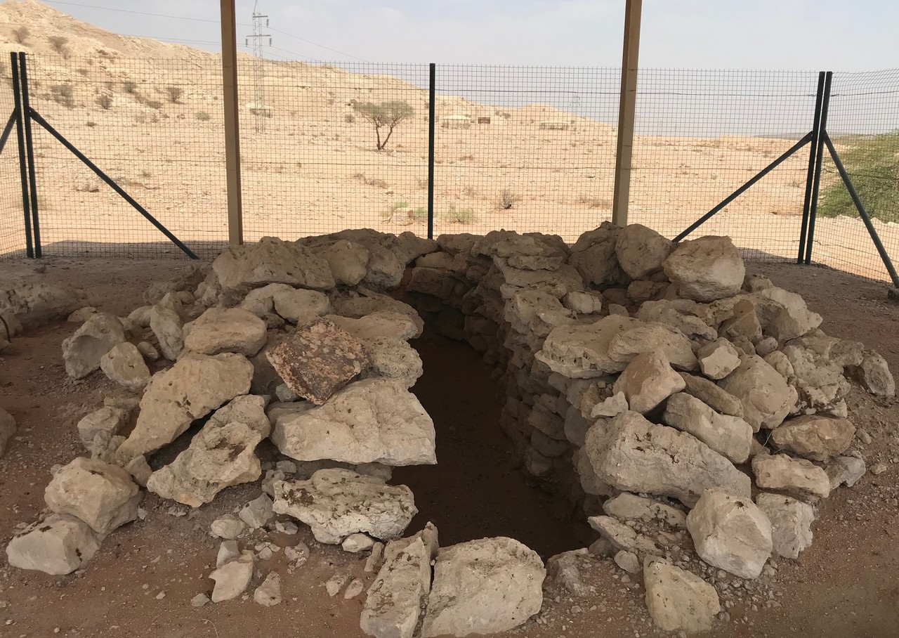
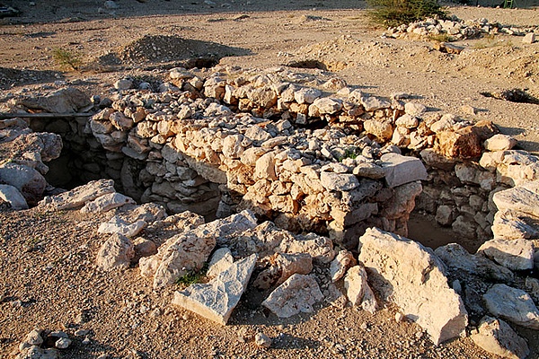
Buhais Geology Outdoor Trail, near Madam. View – mountains, plains, Bronze Age tombs. 10 dhs entry 12 and over.
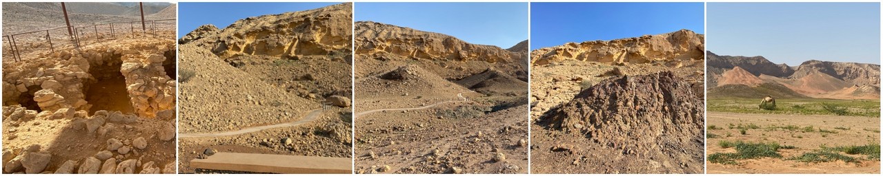
Jebel Buhais, near Madam, is an archaeological site with findings several ages back to the Stone Age. Climb the hill and also visit the tombs, etc nearby. If you prefer, you can book a guided tour with Discover Mleiha.
Discover Mleiha trail around archaeological sites. View – mountains, desert, plains, caves.
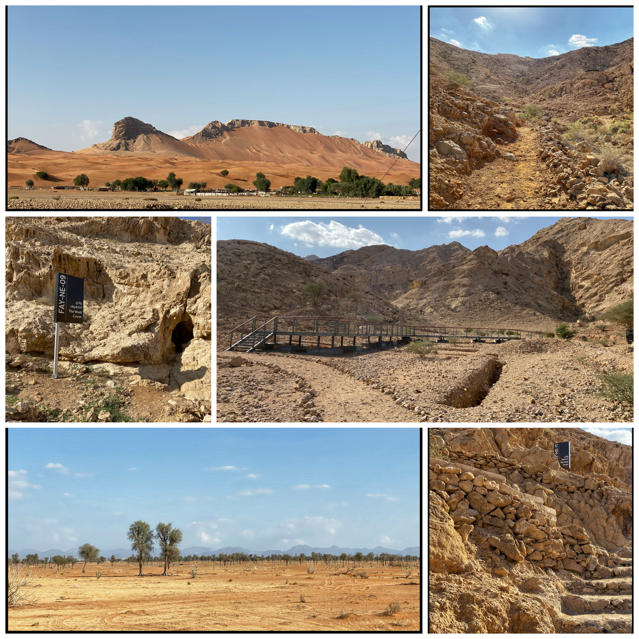
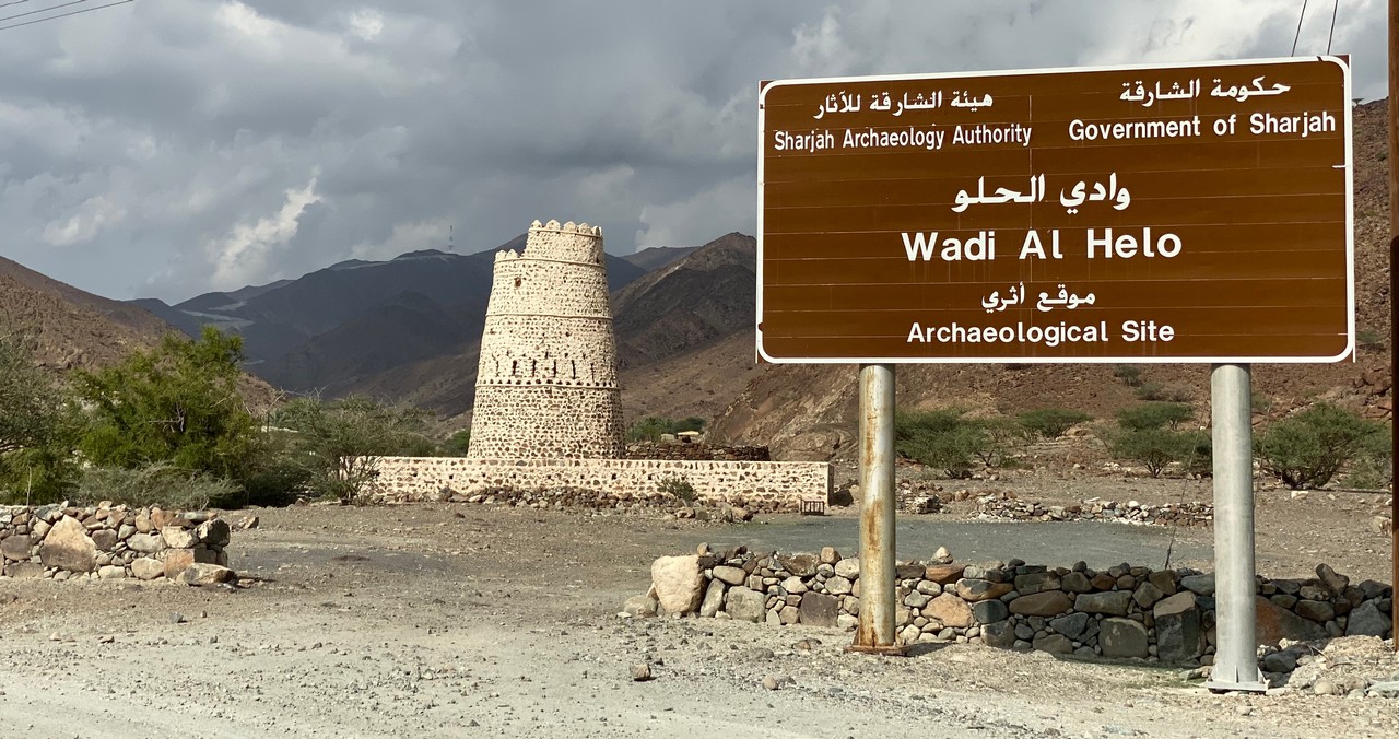
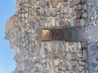
Wadi al Helo – walk through the old settlement, climb the hill or do the hike.
Fujairah Hiking Trails
Fujairah has several hiking trails to follow.
Seven peaks/summits


Tayyibah Hiking Trail
And before Ain al Sheria on the same road, see in link above. Can be a short climb up the hill or a longer hike.
As well as ‘Walks Away from the City’, look at our Hiking page Come back later as new places are added.
Buy Exploring the Emirate of Sharjah – Walking and cycling tours and itineraries in the city and Central and Eastern Regions. Buy here now
More…
- Go here to see more hidden gems in the UAE or go to Home.
- Follow on Instagram or Facebook for regular photos, tips and snippets of cultural and historical information too
- Sign up for Glimpses of the UAE Newsletter
- Follow Glimpses of UAE on WordPress.com
- Take me to the Glimpses of the UAE map